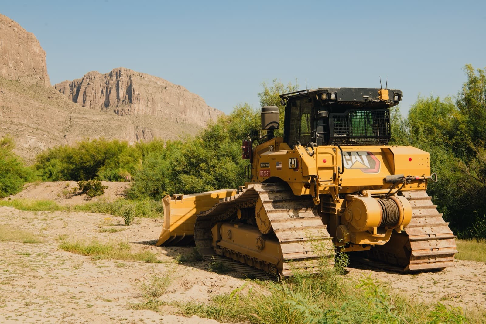
On the morning of Tuesday, August 4, a bulldozer and a string of trucks pulled up to the entrance of Cottonwood Campground in Big Bend National Park, down on the Rio Grande near Santa Elena Canyon. The equipment carried the name of Southwest Valley Constructors, a federal contractor out of Albuquerque. More machines were seen grading the old Glenn Springs road. By nightfall the photographs were moving through every channel a West Texan reads, and they all arrived carrying the same question.
What, exactly, is the federal government building in Big Bend?
Depending on who you had been listening to since winter, the answer was a 30-foot steel wall through the most famous landscape in Texas, or nothing at all, or a project so secret that nobody who asked could get a straight answer. The first 2 have each been, at one time or another in the past 6 months, the official answer. The third is what it felt like in between. Fair warning: this is a land story. Out here it always is.
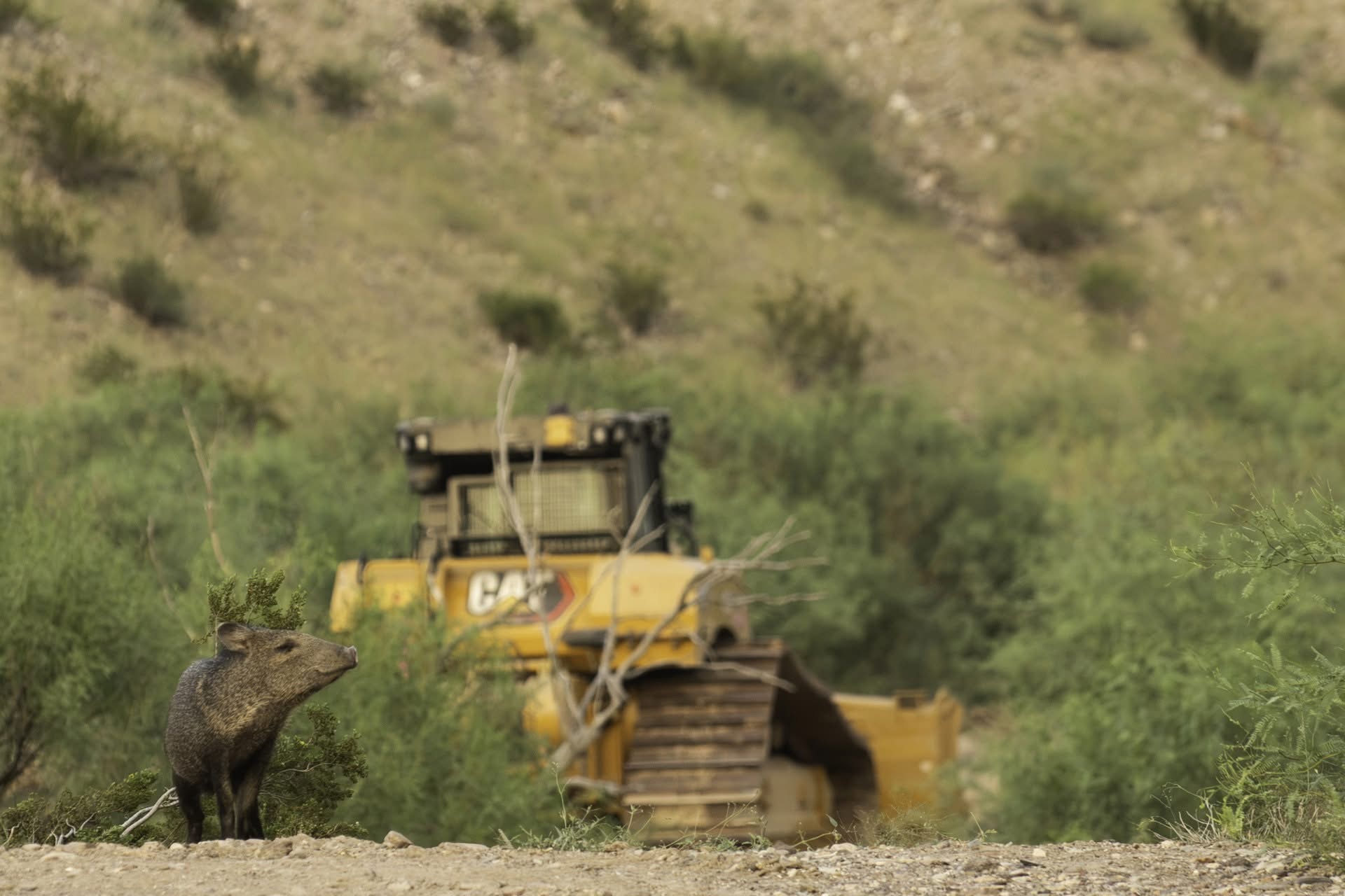
Photo Credit: Natalie Newman - Facebook
Start with the money, because contracts are public record even when maps are not. Since March, Customs and Border Protection has signed more than $7 billion in construction agreements for the Big Bend country. About $3 billion of it buys roughly 175 miles of genuine 30-foot steel bollard wall west of the national park, running from Sierra Blanca down through Presidio County to the western edge of Big Bend Ranch State Park, split between Barnard Construction of Montana and Fisher Sand and Gravel of North Dakota. Those are the segments with wall panels already stacked near Van Horn and Fort Quitman, a camp for some 500 workers going up at Lobo, and installation expected, on CBP's announced schedule, to begin by September.
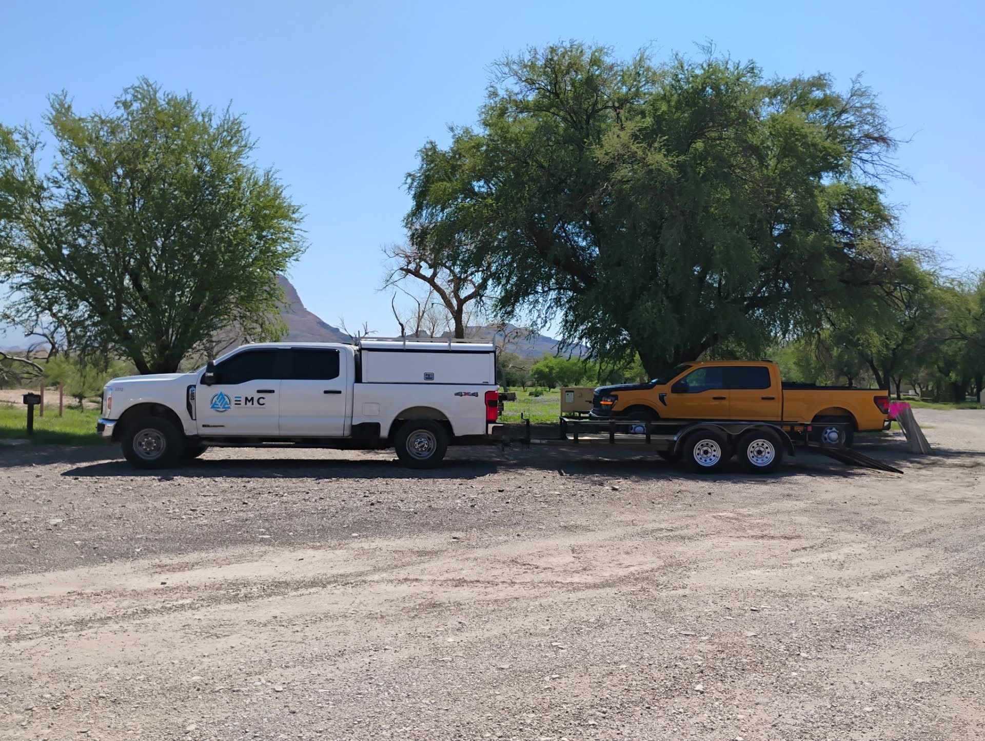
Photo Credit: Thomas Alex - Facebook
The contract that reached the national park is different. In May, CBP awarded $1.7 billion to Southwest Valley Constructors for what the agency says is not a wall at all: about 17 miles of low-profile vehicle barriers near Lajitas, Rio Grande Village and La Linda, plus cameras, sensors, and roughly 200 miles of new and improved patrol roads, some up to 24 feet wide, through the park and the Black Gap country. In June, another $2.6 billion went to Fisher for a similar package east of the park, roughly 156 miles through Brewster, Terrell and Val Verde counties down toward Lake Amistad. Taken together it is among the most expensive border construction ever undertaken, in the sector where the fewest people cross.
Every argument in this story eventually comes back to that last fact. Border Patrol's Big Bend Sector covers 517 miles, about a quarter of the entire southern border, and it is the quietest stretch of it by a wide margin. The agency's own numbers: 3,096 apprehensions in fiscal 2025, about 1.3 percent of the national total, down 74 percent from 2023. The Texas Observer ran the project's price against those numbers and got roughly $2.4 million per annual apprehension. The administration's position, set out in a January executive order and in CBP statements since, is that the low numbers prove deterrence is working, that barriers and roads extend agents' reach and safety in remote country, and that the agency is carrying out a directive, not writing policy. Or, as a CBP spokesman put it to The Center Square in July, "we've been ordered to do it."
the most expensive border construction ever undertaken, in the sector where the fewest people cross."
If the government had simply said all of that in January, this would be a short article. Instead, the region got 6 months of whiplash, and the whiplash is documented in the government's own materials.
In February, a Department of Homeland Security waiver appeared in the Federal Register setting aside more than 24 federal laws, from the Endangered Species Act to the law protecting wild and scenic rivers, for construction along the western wall segments. It was the first in a series of waivers that by midsummer covered the whole region, from the parks to Lake Amistad. The same month, CBP's own online "Smart Wall" map quietly sprouted wall segments touching both Big Bend National Park and Big Bend Ranch State Park. Nobody announced the change. Residents found it themselves.
In March, the sector chief told Presidio County officials "there would be no wall in the state park." Days later he retired.
The agency said the departure was planned and had nothing to do with the wall, and no reporting has established otherwise. What is documented is that his assurance did not outlast the spring. In April the map changed again, showing no wall in either park, and then the map itself disappeared from CBP's website for weeks.
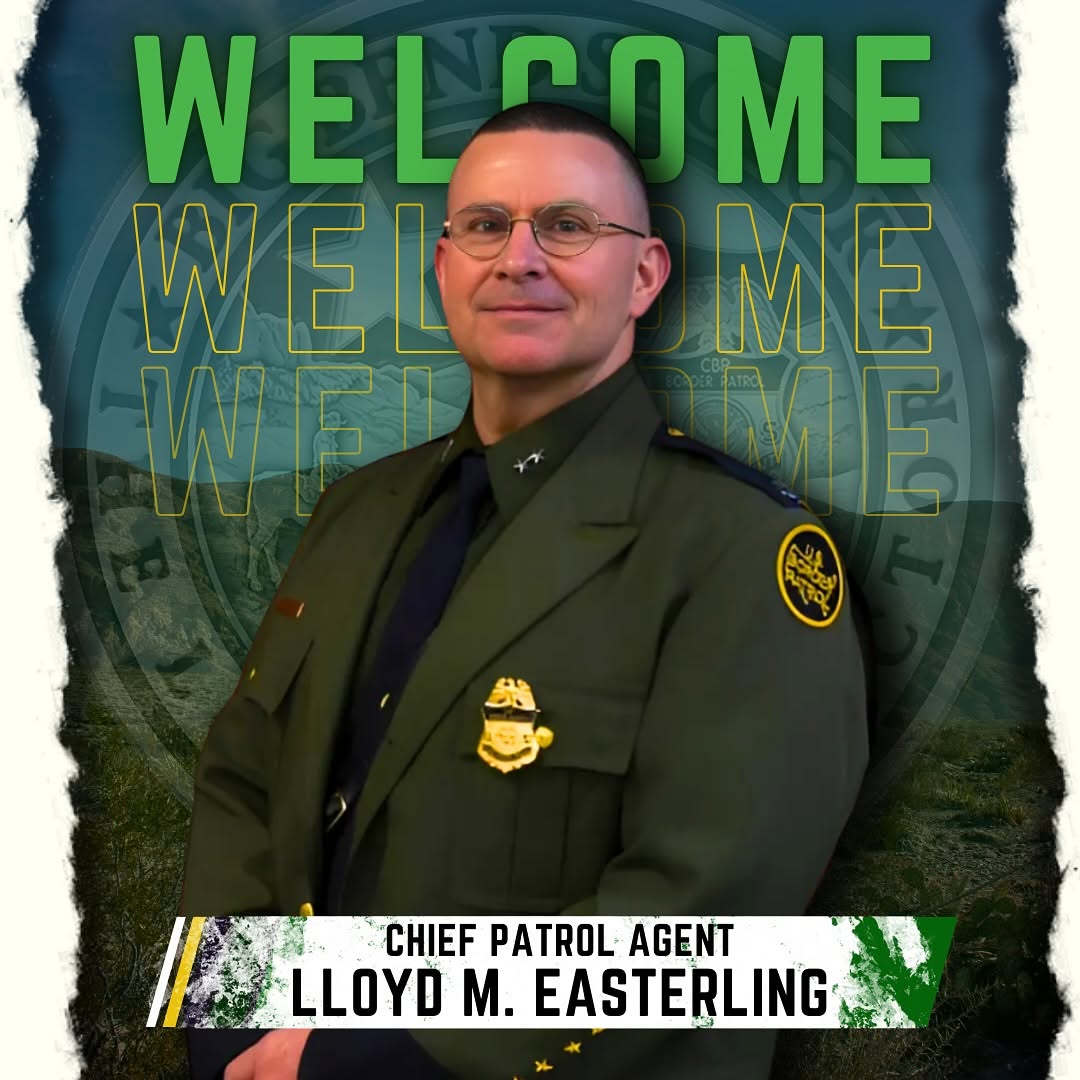
Chief Patrol Agent Lloyd M. Easterling - Photo Via Facebook US Border Patrol Big Bend Sector
In May, CBP Commissioner Rodney Scott said building a wall in the national park "would be kind of silly," picturing a 30-foot wall on top of a 90-foot granite cliff. The canyons in question are limestone, and a good deal taller than that, but the point stood, and before the month was out the $1.7 billion contract landed anyway, categorized under the border wall program in federal procurement records, a label that may say more about the funding stream than the design, even as the agency said no wall was planned there.
In July the map returned with about 2 miles of 30-foot wall drawn inside the state park after all, described as "planning stages." If you have lost the thread, congratulations. You now understand the Big Bend story about as well as anyone who has tried to follow it honestly.
Inside the national park, CBP says surveys. The equipment says soon.
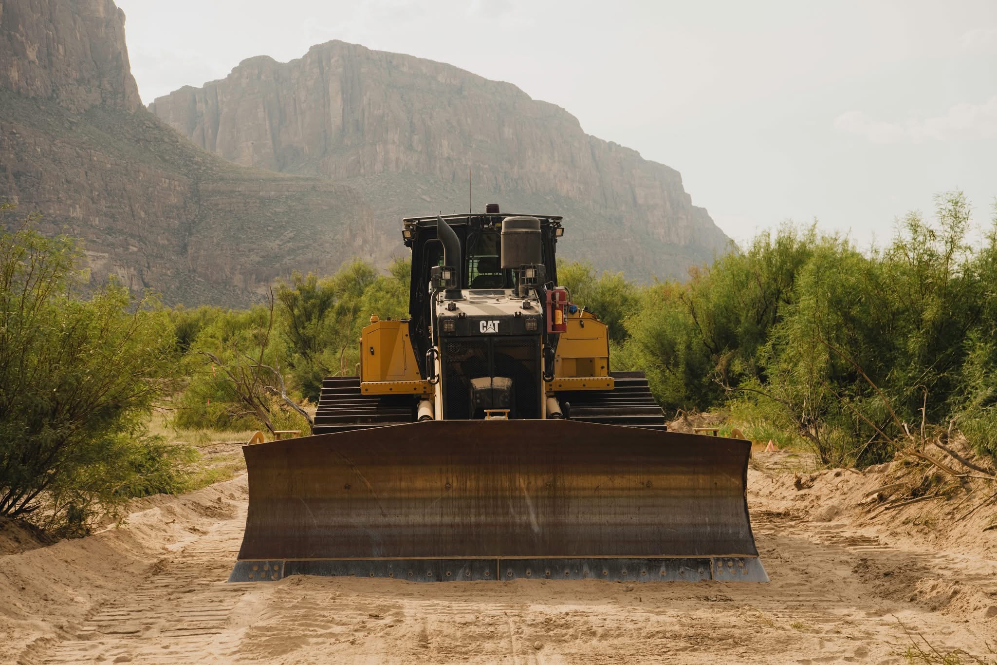
Photo Credit: Natalie Newman - Facebook
None of this required a conspiracy. What it required was an agency changing its plans faster than it was willing to explain them, in a region with long memories and few reporters. The Big Bend Sentinel, Marfa Public Radio, Texas Public Radio and the Texas Tribune have done nearly all of the verification work in this story. As far as we can find, not one national fact-checking outfit has taken it up.
And the conspiracy theories? The internet being what it is, you might expect the full menu: secret lithium mines, park privatization, a land grab dressed up as security. We went looking. There is remarkably little of it. Nobody credible, and hardly anybody incredible, is claiming a mineral play; the geology down there runs to mercury, not lithium, and the only mine of consequence the park ever held was the old Mariscal mercury works, dead for generations. Nobody serious claims the park is being sold. What people actually claim, mostly, is that the government will not tell them what it is building. On the record so far, that one is hard to argue with.
The claim that came closest to conspiracy talk is also the one the documents kept propping up. In February, saying "they are going to bulldoze through Big Bend National Park" sounded like an overheated Facebook post. It traced to genuine federal filings, and on August 4 the bulldozers arrived. CBP says the crews are re-grading storm-damaged roads to reach survey sites, that construction proper has not begun, and that there are "no plans for blasting of Mariscal Mountain." Bob Krumenaker, the park's most recent former superintendent, told Marfa Public Radio that the patrol road drawn over Mariscal cannot be built without explosives. The 2 statements can coexist only as long as that road stays on paper. If it is built as drawn, one of them gives.
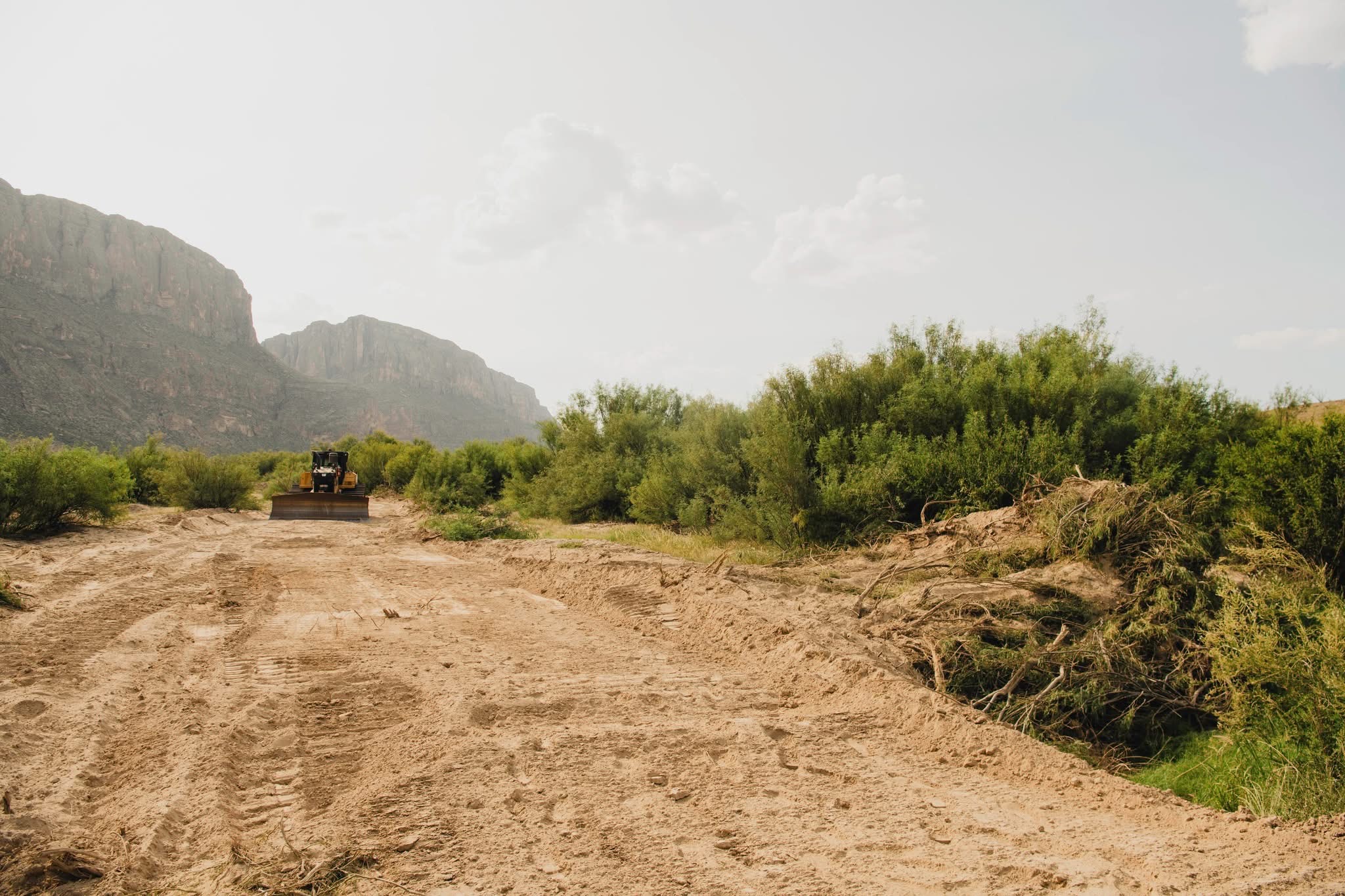
Photo Credit: Natalie Newman - Facebook
Now the part of this story that belongs to every landowner in Texas, whether or not you ever set foot in a park. The border in Texas is not federal land. There is no 60-foot government strip along the boundary here the way there is in California, Arizona and New Mexico. Texas is roughly 95 percent private, and along the river the ownership map is a layer cake: private ground on the banks, the riverbed itself held by the state through the General Land Office, and thin federal levee strips in between. When Washington wants to build here, it cannot simply build. It has to come get the land, parcel by parcel, from people with deeds.
That is not a hypothetical process. The last 2 times the government built border fence in Texas it filed hundreds of condemnation suits, and the record from that era is ugly reading. ProPublica and the Texas Tribune documented it in 2017: initial offers made without formal appraisals, cases that averaged 3.5 years, some that ran a decade, and a pattern in which owners who hired lawyers settled for about 3 times the government's first number.
This time the instrument of choice is a letter. Some 400 landowners in the region, by regional press counts, have received right-of-entry packets from CBP: sign and take a payment of up to $5,000, negotiate a sale, or be referred to the Justice Department for condemnation. Texas condemnation attorneys have flagged the fine print, which they read as allowing construction to begin before a case is filed or a dollar of compensation is deposited with a court. Downriver in Zapata County, outside the Big Bend but part of the same push, landowners told Texas Public Radio in June that crews had cleared ground, cut an irrigation line and removed trees before any agreement was signed. CBP answered that the cleared strip was federal levee land belonging to the International Boundary and Water Commission, and that it does not build on private property without legal access.
If you want a measure of how fast this is moving relative to its own paperwork, ask the State of Texas. On July 31 the Texas General Land Office, an agency not famous for obstructing border security, sent CBP and the contractor Barnard Construction a cease-and-desist letter asserting that crews had cleared more than a mile of state-owned grazing land in Presidio County without written permission. "Texas sovereignty will not be infringed upon by failure to follow established protocol," the land commissioner wrote. Neither CBP nor Barnard had publicly disputed the letter as of this writing. When the wall effort reaches the point that the Texas land office is ordering it to stop, the word conspiracy has become unnecessary. The simpler explanation on the record is a project outrunning its own paperwork.
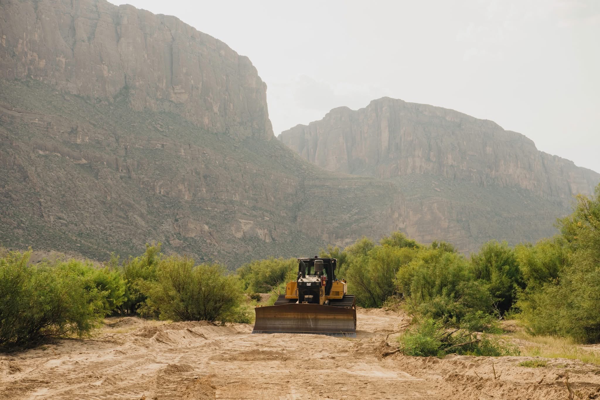
Photo Credit: Natalie Newman - Facebook
What do the people who live with the border think? In the Big Bend, opposition is the rare thing that crosses party lines the way the wildlife crosses the river. 5 county sheriffs in the Big Bend country, 3 Democrats and 2 Republicans, signed a letter opposing a continuous wall. The Terrell County sheriff, a retired Border Patrol agent, put it in 5 words: "We've got a God-made barrier."
The economic case is just as local. The Brewster County sheriff, a Democrat who has held the job 26 years, framed it plainly: "We don't have oil and gas, we have tourism." He is not guessing. The park drew about 561,000 visitors in 2024, worth better than $56 million in spending in the gateway towns. A former Texas land commissioner, a Republican, told reporters at a rally of more than 2,000 people in Austin this spring that he had found no one, Republican or Democrat, who wants a wall in the Big Bend. Support among the region's elected officials is hard to find on the record; the governor's office, for its part, says it fully supports using every necessary tool and strategy to deter illegal crossings.
As of this week, no court has blocked any of the work, though only one narrow piece has been tested. On August 2 a federal judge declined to halt a separate CBP project to build wall into the flood levee at Presidio, upriver from the parks, writing that the waiver authority Congress created in a 1996 immigration law, and broadened in 2005 to cover nearly every legal requirement, left the court almost nothing to review. 2 broader lawsuits are alive, one of them amended in June to attack the waivers head-on. The 30-foot segments west of the parks are scheduled to start going vertical by fall. Inside the national park, CBP says surveys. The equipment says soon. Check the date on everything in this story, including this story.
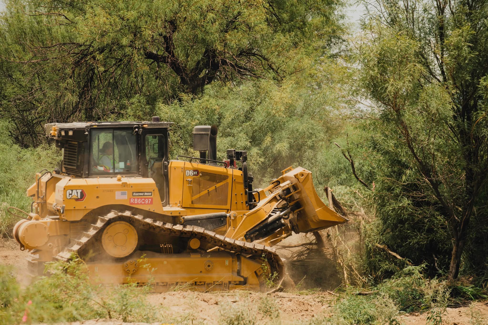
Photo Credit: Natalie Newman - Facebook
There has never been much appetite out here for walls of any kind; the country resists them on its own authority. By the Texas Observer's count, 4 different presidential administrations have floated a wall at the little city of Presidio alone, and none ever built one. Whatever gets built this time will be argued in courtrooms and surveyed across other people's deeds. Then it will have to be maintained, forever, in flash-flood country that has never once asked permission before rearranging itself. The Rio Grande has been redrawing its own line since long before anyone thought to argue about it, and it does not read the Federal Register.
What the record shows is a construction project, publicly funded and poorly explained, in the emptiest and best-loved corner of Texas, moving faster than the truth about it.
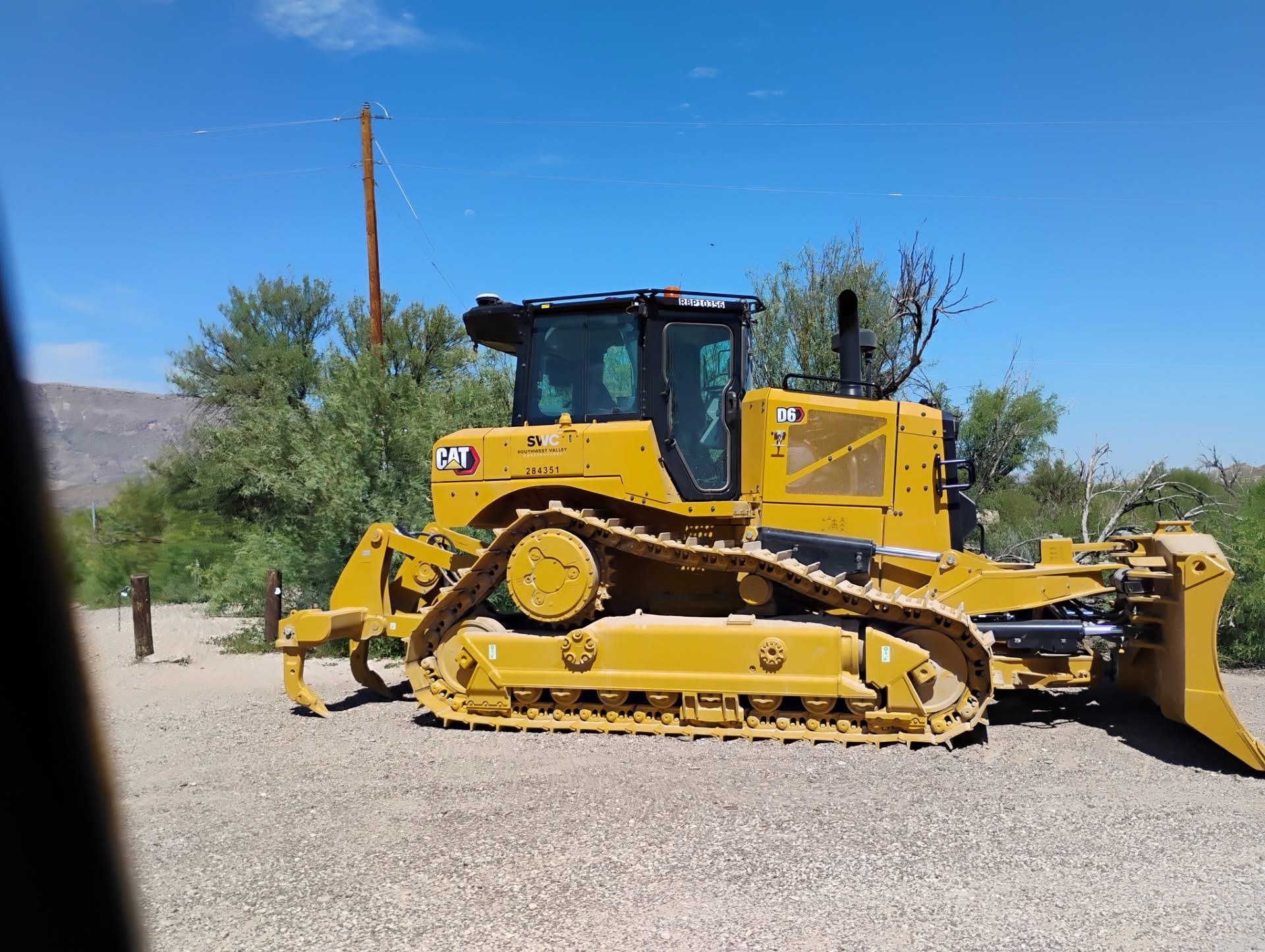
Photo Credit: Thomas Alex - Facebook
Reporting drawn from Marfa Public Radio, the Big Bend Sentinel, Texas Public Radio, the Texas Tribune, the Texas Observer, The Center Square, the Associated Press, The Guardian, NPR, NBC News, Texas Monthly, and primary records including CBP contract announcements, Federal Register waivers, and the Texas General Land Office's July 31 cease-and-desist letter. Figures and dates are as of August 6, 2026. This story is moving; details will change.