A flight of 52 stone steps dropping under a natural rock bridge in Burnet County, 130 feet down to an old riverbed, the air holding between 65 and 68 degrees whatever the month. You go down behind a guide, on a paid tour, or not at all. Up top, on Park Road 4 about 10 miles southwest of Burnet, is Longhorn Cavern State Park, a day-use park on Backbone Ridge.
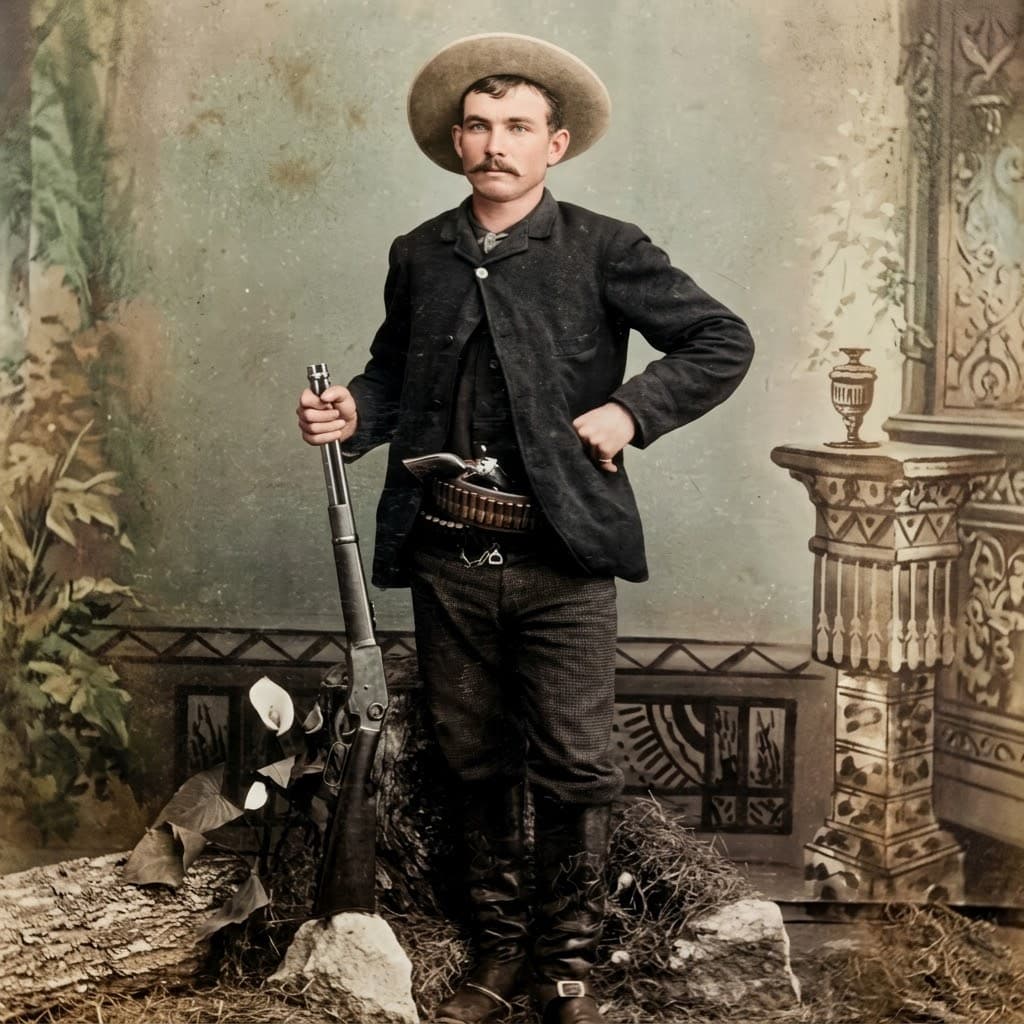
The cave's documented history has nothing to do with Sam Bass, an Indiana orphan who came to Denton in 1870, raced horses, helped rob a Union Pacific train in Nebraska in 1877 and died of a Ranger's bullet at Round Rock on his 27th birthday in 1878. Settlers mined the cavern's bat guano, and in the Civil War, Texas Parks and Wildlife says, "Confederates made gunpowder in the cave." During Prohibition the owner, rancher D. G. Sherrard, ran it as a dance hall, nightclub and restaurant. Patrons drank bootleg whiskey, danced to live music and ate by candlelight in the Indian Council Room. The Depression ended the business, park guide Al Gerow said, and, by TPWD's account, the state acquired the cave from private owners between 1932 and 1937.
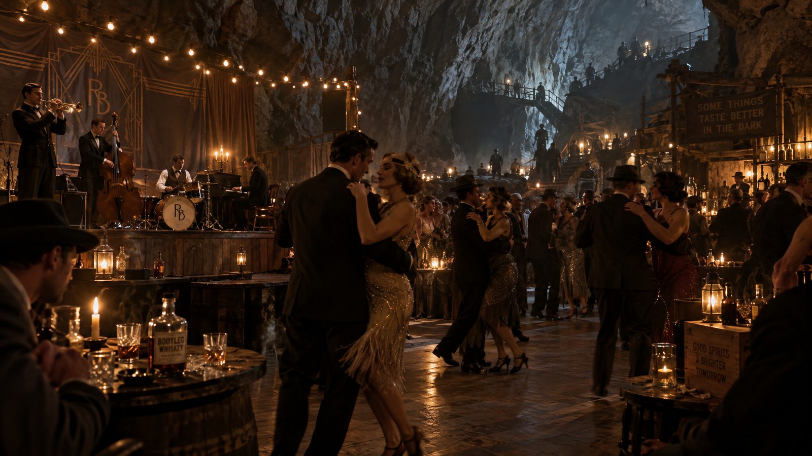
AI illustration: Longhorn Cavern in its Prohibition years as a dance hall.
Then came Company 854 of the Civilian Conservation Corps. For 4 to 8 years, about 200 laborers worked the silt out by hand with picks, shovels, dynamite and iron-rimmed wheelbarrows, more than 20,000 cubic yards by a guide's figure and 30,000 by the state's brochure, "about 3,000 dump truck loads." Much of it went into Park Road 4. CCC crews blasted out the mouth visitors use today, 36 feet below the land bridge. By the state's count, the 645.62-acre park opened in 1938.
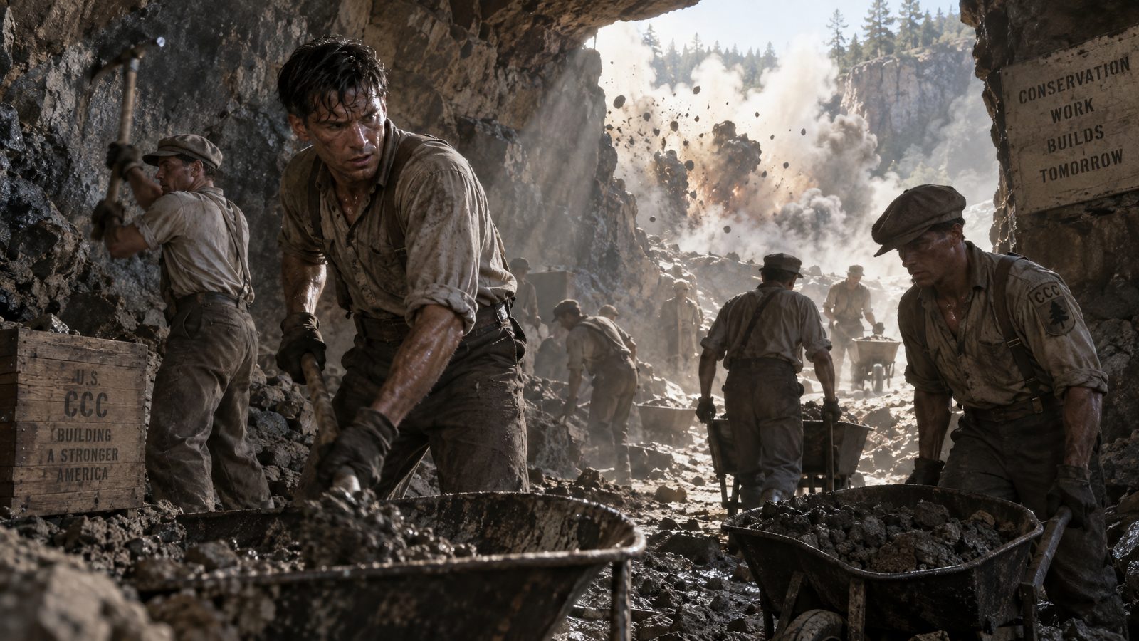
AI illustration: Civilian Conservation Corps crews clearing the cavern in the 1930s.
What the crews found is on record: the Queen's Watchdog, a smooth dolomite rock shaped like a small dog, buried in silt deep in the cave. What they thought they found is a guide's story. Gerow told it in the crystal Hall of Gems in 2004: "When the CCC boys dug in here, they thought they'd discovered a diamond mine. But they found out it was worthless." No account from a CCC enrollee has been found. No report of gold, a Bass relic or a Spanish relic has turned up.
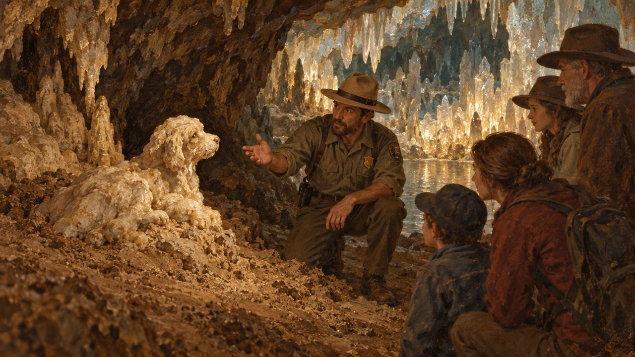
AI illustration: a guide with the Queen's Watchdog, the dog-shaped rock the crews found in the silt.
The state tells the Bass story against itself. Texas Parks and Wildlife's history page passes along the tale that "the outlaw Sam Bass hid a $2 million cache of stolen money inside." The next line: "Of course, there's no evidence that Sam Bass ever visited the cave." The agency's radio program said in 2019 that "folks are still searching for Sam Bass' gold." A guide told Texas Standard in 2015, of the gang, "I'm told they actually rode their horses right into the cave." The 1967 state marker at park headquarters still reads, "In 1870's outlaws, including the Sam Bass gang, sometimes lived in the cavern." The Handbook of Texas says only that Bass and other outlaws "are thought to have sought shelter there." The Texas Speleological Survey says the main entrance is named for him. The park map labels it only Cavern Entrance.
The doubt is not new. In October 1935, while the cave was being "widely advertised as a former haunt of the famous outlaw," Wayne Gard, Bass's biographer, doubted in print that Bass ever came within 35 miles of the place. A straight line puts the cave about 40 miles west-northwest of Round Rock, well off the route the record has Bass riding in July 1878.
The legend's $2 million is more than 30 times the roughly $65,000 Bass's gangs ever stole, most of it recovered or spent. What the cave holds is a hideout tradition and a treasure rumor with no known 19th-century source. Plausibility: 1, on a scale of 1 to 5 on which nothing in this piece scores above 3. A 1 means no record puts Bass, or any silver, at the site; a 3 means the record puts him there with his gold. Longhorn Cavern, the most famous Bass site, is the least likely.
Ahead on the card: the Menard presidio and the Austin holes score 1; Calf Creek, Packsaddle, Los Almagres, Chapman's box and Big Caddo, 2; the Denton bottoms and Cove Hollow, 3. Every treasure in this story began as a number somebody wrote down, and the first number, 3,000 coins, can be followed from a Nebraska water station to a bar in Waco.
The minute, near enough: 10:48 p.m., Tuesday, September 18, 1877. The place: a Union Pacific water station about 20 miles west of Ogallala. The cargo: a shipment of $20 gold pieces so new every one of them was dated that year. At Big Springs, Nebraska, 6 masked men led by Joel Collins, Sam Bass among them, stopped eastbound express No. 4 and took $60,000 of that gold from the express car, plus about $1,300 and 4 gold watches from the passengers.
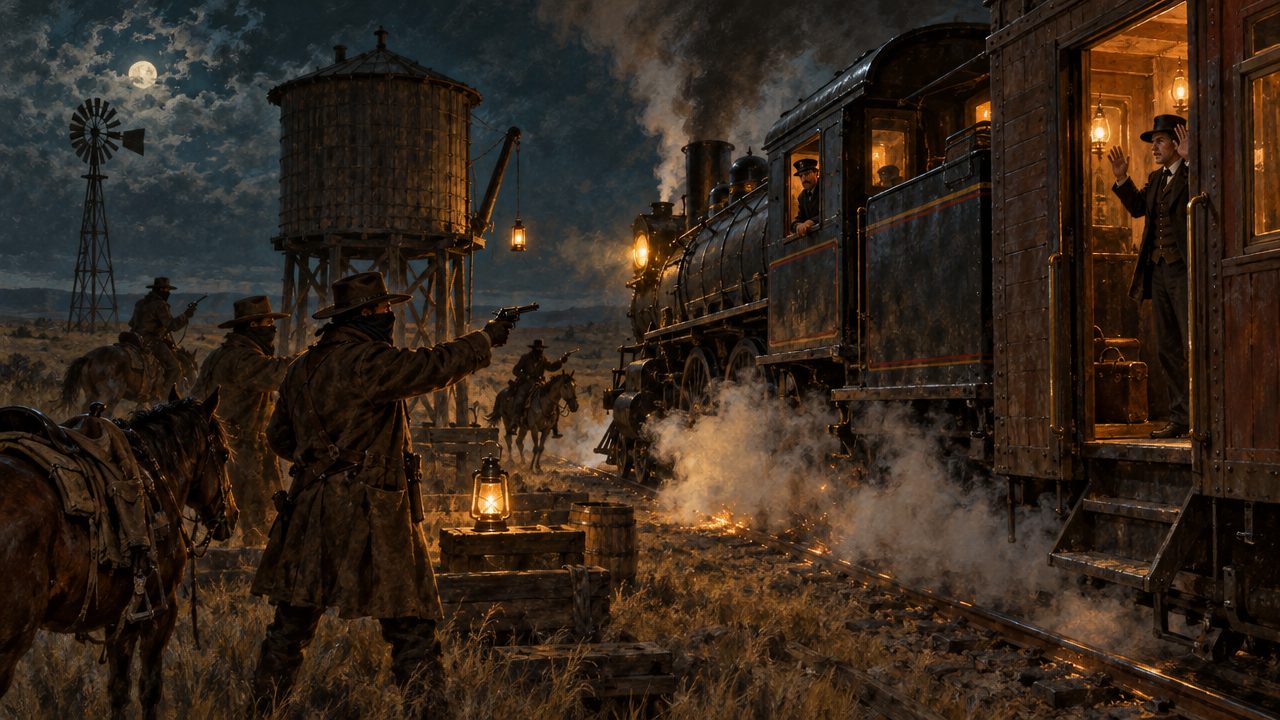
AI illustration: the Big Springs holdup, September 18, 1877.
At $20 apiece, $60,000 is 3,000 coins, roughly 220 pounds of gold. They were bound from the San Francisco Mint to an Eastern bank, and every one was of the coinage of 1877, which later helped identify the robbers.
Bass named the gang on his deathbed: Joel Collins, Bill Heffridge, Tom Nixon, Jack Davis, Jim Berry "and me," adding that "Tom Nixon is in Canada." They divided the gold 6 ways. Gillett, writing in 1921, tells it secondhand: an Ogallala storekeeper named Moore trailed them on a hired horse and watched each man take $10,000. J. Frank Dobie gave the same figure in 1955. Big Springs is now a small village in Deuel County, and the robbery spot is the active Union Pacific main line itself, private railroad property with live traffic, so look from the street. The springs that named the town watered locomotives until 1950.
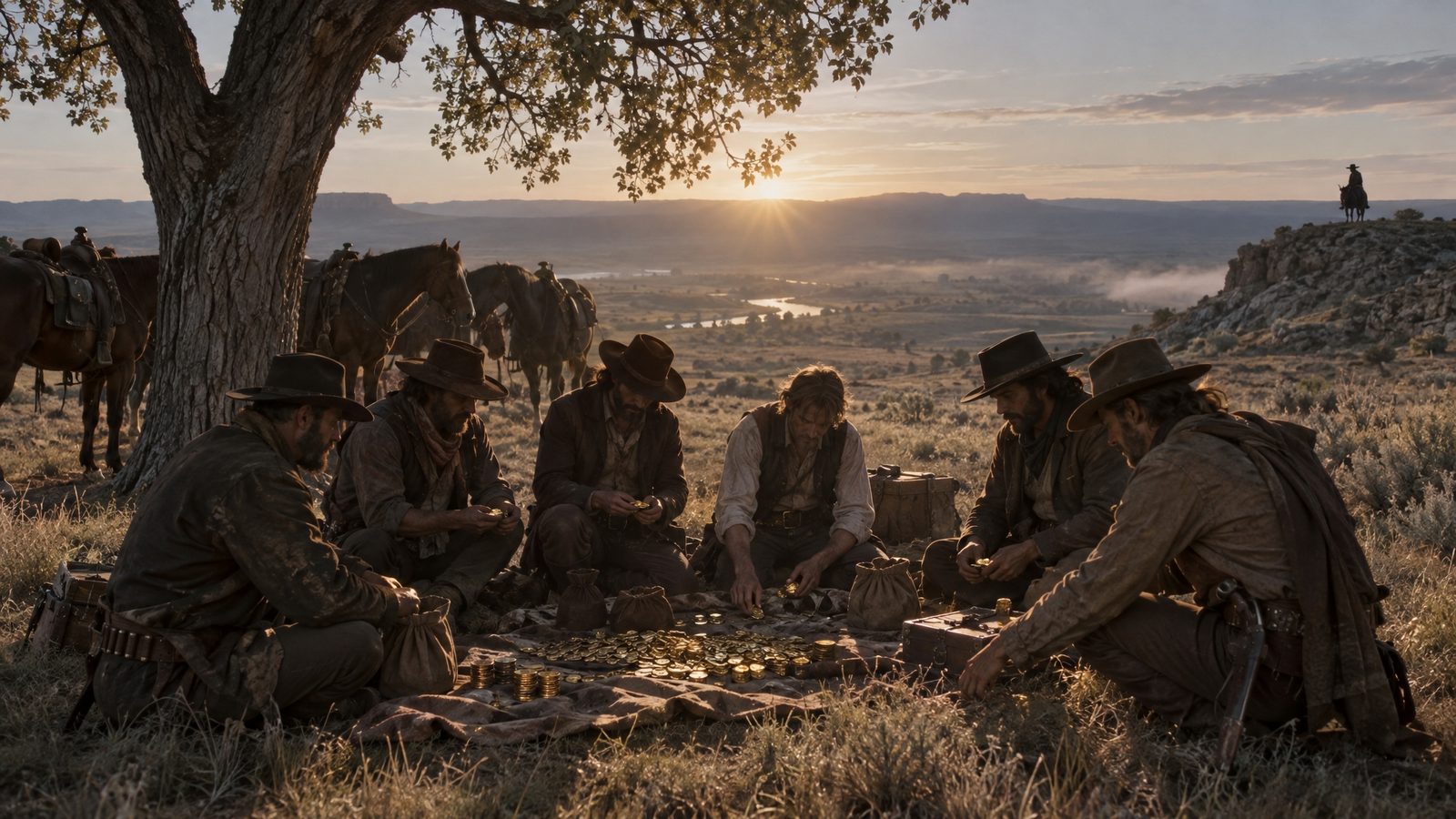
AI illustration: the gang dividing the gold 6 ways, watched from a ridge, as Gillett heard the story.
The 1878 pamphlet says the 6 rode together about 200 miles and then broke into "squads of two": Collins with Heffridge, Bass with Davis, Berry with Nixon. Collins and Heffridge died 8 days after the robbery, on September 26 at Buffalo Station, Kansas, betrayed by a letter addressed to "Joel Collins" that the station agent noticed. Taken back for identification, they drew pistols and were killed. Their gold was tied up in the legs of a pair of pants on the pack pony, "no less than twenty-five thousand dollars," the 1878 pamphlet says, "all of the mintage of 1877."
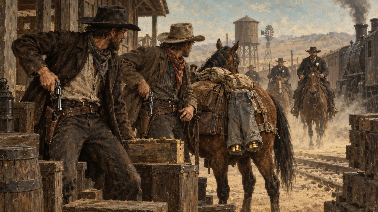
AI illustration: Collins and Heffridge at Buffalo Station, Kansas, with the gold tied in a pair of pants on the pack pony.
Berry went home to Mexico, Missouri, and the morning after he arrived "visited the banks at the hour of opening and sold gold to the amount of $9,000." He gave an old mining acquaintance $250, bought a fine suit "without higgling at the price" and sent a $300 bill of groceries to his family. The banks shipped the gold to St. Louis, where it was identified as Union Pacific loot. The reward telegram guessed, "Think he is making for Texas." Audrain County Sheriff Henry Glascock's posse shot and captured him with "five $500 packages" in his belt and $340 in his pocketbook, $2,840 in all, and Berry died of gangrene about October 19. The sheriff searched his house and "found no money," though the place held "hams without number."
Add it up: about $27,840 recovered within a month, $25,000 from the pants legs and $2,840 from Berry, none of it from Bass. The $9,000 Berry sold was turned into cash, not recovered.
Bass and Davis loaded their gold into a one-horse hack and headed south. By Bass's own campfire boast, unconfirmed, they fell in with a squad of officers hunting the robbers and traveled with them for 4 days "while twenty thousand dollars of ill-gotten gold clanked under their seat." In Cooke County, Bass passed as Samuel Bushon. Davis went on to New Orleans to live fast and spend freely, and Bass went home to Denton with a story about "a strike he had made prospecting in the Black Hills." The pamphlet sketches him as "a freebooter, with ten thousand dollars in ready cash at his command."
Bass's own share, by even division, was about $10,000. The 4 Texas train robberies of 1878 brought in roughly $1,400 to $3,500 in all, plus registered mail of unknown value, so any Texas "Bass gold" would have to be Union Pacific gold. At Fort Worth, Jim Murphy, a friend whose family sheltered the gang and who would later sell Bass out, exchanged $4,000 of the stolen gold for greenbacks for Bass and Davis. They split the money before Davis left by train. Another Collins, William, received "eighteen hundred dollars from Bass" just before his arrest that spring, "a well established fact," the pamphlet says. Paper was the point. Coins dated 1877 could be traced, as Berry's capture showed, and a man trading them for greenbacks is not acting like a man about to bury them.
The early sources have the money gone by July 1878.
That is the American gold, counted down to the last double eagle. The other treasure in this story is silver, and it was never counted at all, because the people who went looking for it never found a treasure to weigh, only ore samples and holes. The 2 treasures keep getting confused anyway.
A sample of 3 pounds of hand-picked ore from a red hill on Honey Creek, taken by Bernardo de Miranda in 1756 and assayed into a legend. That is the second number. Then the mine moved, on paper. "Silver mines" near the San Saba appeared on Stephen F. Austin's maps in 1829, on Henry S. Tanner's printed map in 1830 and in Austin's 1831 promotional pamphlet. Los Almagres, the mine on the red hill, became the "lost San Saba mine," then the "lost Bowie mine," and the Handbook of Texas puts the legend's site more than 70 miles from the real hole.
J. Frank Dobie traced the genre's sources in 1924, in "An Inquiry into the Sources of Treasure Legends of Texas," in Legends of Texas, which he edited. The Spanish in Texas, he noted, "were always hard up," and yet "the treasure legends of this Southwest are peculiarly of Spanish origin." His Coronado's Children, in 1930, opens with the Lost San Saba Mine, which will not hold still: "It is here; it is there; it is nowhere. Generally it is silver; sometimes it is gold." The book appears never to mention Sam Bass; a search of the scanned text, which can miss words, finds "bass" only in the phrase "treble to bass."
Bass's lore is separate. The only Bass piece in Legends of Texas, by Walter Prescott Webb, holds all of the book's Bass treasure lore: "a legend of $30,000 of loot buried by Sam Bass" in Montague County; treasure he "is supposed to have left" in "the Llano country," the earliest printed Hill Country link this search found, not proven the first; and a cave at McNeil, near Austin, where, Webb wrote, he hid. Webb's disclaimer: "Legend and fact are inextricably mixed. I shall make no effort to separate the one from the other."
Webb named no spot in Montague County, and its Spanish Fort is no help. That was a fortified Taovaya village, "misnamed later by Anglo settlers who found Spanish artifacts," at or near which Col. Diego Ortiz Parrilla's force was repulsed in October 1759. The town that took the name was, at last report, a near-ghost town at the end of FM 103, about a mile south of the Red River: 2 state markers on the square, the 1936 one on an 8-foot red granite shaft, and empty buildings.
Dobie also described charts "purporting to be a century old" penciled "on the cheapest of modern paper," and the only tale he records pairing an American outlaw with gold in a Mexican cave involved "an Indian, General Custer, Jesse James, and Pancho Villa." Not Bass. Bass's double eagles turned into "gold bullion" on a penciled map that, Wayne Gard reported, sent men digging at night on Marcus Plowman's Trinity bluff in Dallas in January 1928, and into "3,000 gold bars" on KSAT in 2019. The sums outrun the robbery: the Montague $30,000 is half the $60,000 taken at Big Springs, the Dallas map's $200,000 more than 3 times it, Longhorn Cavern's $2 million about 33 times.
AI illustration: treasure on the scale the legends imagined.
Only 2 burial rumors were printed while Bass was alive and carrying gold; every other Bass treasure site in this piece entered print after his death. Gard in 1935 counted more than half a century of maps, spades and sometimes divining rods, caves searched "from Austin to the Red River" for nothing, and Bass hideouts "almost as numerous as George Washington beds in Virginia."
AI illustration: a Bass biographer at work in the 1930s.
In the sources checked, from an 1897 Austin newspaper to Dobie in 1955, the 2 legends share ground, from Packsaddle Mountain to Montague County, and story parts, from sealed caves and Mexican finders to bullion. None gives Bass Spanish gold, and no merger turns up. So the map has 2 colors, and the walk starts among the least likely sites, where the Spanish legend has its capital: a stone fort on the San Saba near Menard.
A stone gatepost on the San Saba with names scratched into it, Bowie's among them, and tacked onto his a word that Robert S. Weddle, in the Handbook of Texas, thinks some prankster added after 1895. The word is MINE. The Handbook's list includes "Padilla 1810, Cos 1829, Bowie 1831, Moore 1840." The German geologist Ferdinand Roemer saw Bowie's name dated 1829 in 1847, Dobie says, and by 1930 it read "BOWIE / MINE / 1832." Dobie's verdict: "Whether James Bowie carved his name with either of those discrepant dates can never be determined."
Silver was in this fort's story from the start. Presidio San Luis de las Amarillas went up in April 1757 on the north bank of the San Saba near present Menard, to guard Mission Santa Cruz de San Sabá, a mission financed by a wealthy mine owner, Pedro Romero de Terreros. Texas Beyond History counts testing the silver rumors among the fort's purposes. On March 16, 1758, about 2,000 attackers burned the mission, and the commander, Ortiz Parrilla, counted 8 Spaniards and 17 Indians slain. Felipe de Rábago y Terán rebuilt the fort in stone, with 4 corner bastions and a moat, as the Real Presidio de San Sabá in 1761, and abandoned it without orders in June 1768. It lasted, in Texas Beyond History's phrase, "until hope for silver riches waned."
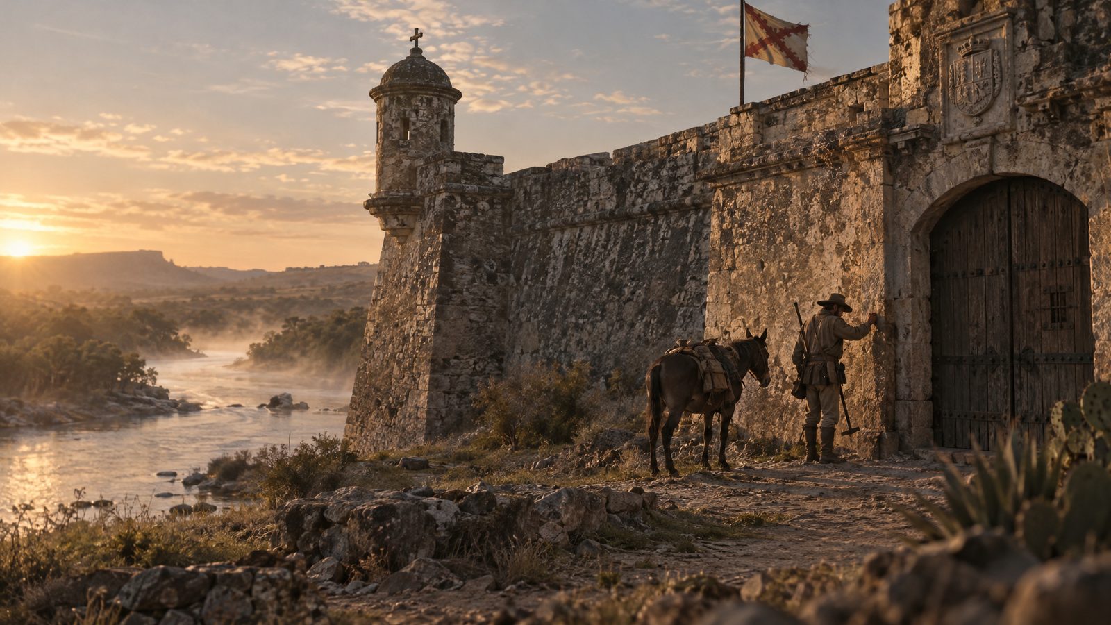
AI illustration: the Real Presidio de San Sabá, rebuilt in stone in 1761.
Parrilla had known where the ore was. On June 30, 1757, by Dobie's reading of the Spanish correspondence, he had asked to move his 100 men to the Llano to protect the Almagres minerals and been refused. He smelted Los Almagres ore at the presidio himself and got about 1.5 ounces of silver from 75 pounds. Later hunters, the story went, took slag from his test as proof the mine was on the San Saba, though Weddle puts the real diggings more than 70 miles away. The Handbook says the Lost Bowie Mine drew treasure seekers here for about 150 years.
Dobie records that when Roemer visited in 1847 he "looked for a smelter and for slag, he found no sign of either," and Dobie adds that old-timers' smelters were often "burnt rocks about an Indian kitchen midden." Menard's lore supplied the slag anyway. Marvin Hunter, as Dobie heard it, remembered a lump his father found, about 15 pounds and containing silver, used "as a door prop in the office of the Menard Record." In 1927, as Dobie told it, town authorities drained the water hole below the fort for a cannon old men remembered standing on as boys, and none turned up. W. T. Burnum, the story goes, spent $1,500 pumping out a cave north of the presidio and then a lake above Menard.
Then there is Silver Creek. As Dobie told it, a woman named Carlota appeared in 1858 with a derrotero, a treasure chart, said to come "from the archives of Monclova." It promised a "store room" of 2,000 silver bars at 50 pounds to the bar, somewhere up Silver Creek. In 1868 a party from San Marcos cleared a rock-filled shaft on the creek and found no silver. The chart called for a 60-foot shaft, and a later digger named Longworth sank one there and found nothing. The document has never been produced, and the University of North Texas Press says David C. Lewis's 2018 book, The San Saba Treasure: Legends of Silver Creek, will not lead anyone to the silver.
Archeologists have dug the fort too, from Kathleen Gilmore in 1967 to the Texas Archeological Society in 2003. The San Saba digs have turned up musket balls, gunflints, horse gear, hand-forged nails, imported ceramics and, at the mission site, a brass sundial dated 1580. No source we read reports a coin hoard.
The fort is now the Presidio de San Sabá Historical Site, owned by Menard County, the Handbook says. The state marker puts it about 1.5 miles west of town, on the Menard Country Club grounds. Much of a 1936-37 Centennial rebuild has collapsed, the main gate was rebuilt in 2011, and a local marker at the gate keeps the legend, crediting the letters BOUIE scratched there to the Bowie party's 1831 search for the San Saba mine. Our sources do not say whether that BOUIE is the BOWIE Roemer and Dobie describe, or whether the carved stone survived the rebuilds at all. The mission site, about 3 miles east of town, is a farm field beside FM 2092 with no visible structures.
The verdict is short. A real fort, a real smelting test and no silver anyone ever needed to hide. Plausibility: 1, beside Longhorn Cavern. Bowie's own hunt ended in a fight the state marked nearly 20 miles east of this gate, a story for later, since the walk goes from the least likely sites up, and Calf Creek rates higher than the ground Bass really rode near Austin in July 1878. That ground comes next, because an 1897 Austin paper already treats a Bass cave there as a landmark.
A $5 bill, said to be the last money the gang had, which Seaborn Barnes was to break in Round Rock. Riding with them was a man who had already sold them out.
Arrested in early May for harboring Bass, Jim Murphy had a contract with Maj. John B. Jones of the Frontier Battalion, dated May 21: his case and his father's dismissed, and his part of the reward, if he would "lay the plan for the capture of Sam Bass." The ballad, which is folk tradition, blames the gold: "Jim had borrowed Sam's good gold and didn't want to pay."
In July, Bass, Barnes, Frank Jackson and Murphy rode south from Denton through Rockwall, Terrell, Kaufman, Ennis, Waco, Belton and Georgetown, by Murphy's account, looking at banks. Hall & Company's at Terrell was "thought the best one to rob," but not safe; at Ennis, after a second look, the bank was "fixed too well to rob."
At Waco, the 1878 book says, Bass threw a $20 gold piece on a saloon counter, "the last of the money obtained in the Union Pacific robbery," on the compiler's word alone. Waco's Texas Ranger Hall of Fame and Museum showed a Bass robbery gold coin in 2009, Wild West reported, so ask whether it still does.
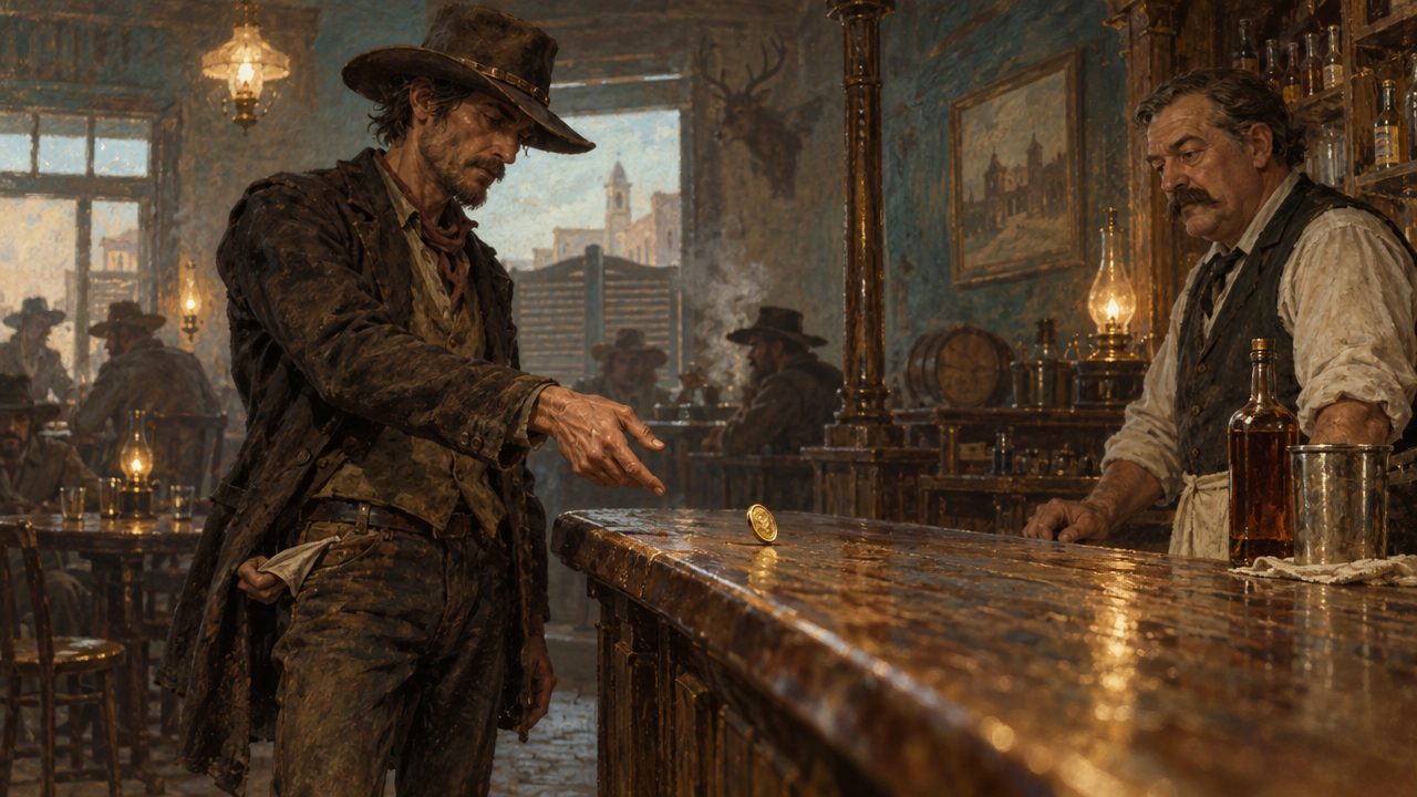
AI illustration: the last Union Pacific gold piece on a Waco saloon counter, as the 1878 book tells it.
Ed. F. Bates, the Denton County historian, said it in 1918: "Finally, Sam Bass' money gave out and the gang planned to rob the Round Rock bank." A man with thousands buried in Denton County would hardly scout banks at Terrell, Ennis and Waco, then plan a robbery in a strange town. He was broke.
At Belton Murphy sold a spare gang horse and gave a bill of sale in his own name "to leave a clue," and slipped a note into the post office for Johnson and Sheriff Everheart: "for God's sake come at once." At Georgetown, by his own statement, he wrote Major Jones that they were bound for Round Rock "to rob the railroad bank, or to be killed." The deputy that letter did not save got a new gravestone in 2015, and the original went to Georgetown's Williamson Museum, in the 1912 Farmers State Bank; call to ask if it is on display.
The gang camped a quarter mile west of old Round Rock on Sunday, July 14, then south of the graveyard. The job was set for 3:30 p.m. Saturday, July 20, the getaway back toward Denton, not into the Llano country, where later legends would send Bass.
On Friday, the day before, at about 4 p.m., Bass, Barnes and Jackson were buying tobacco in Koppel's store (the city spells it Kopperal's) when Deputy Sheriff A. W. "Caige" Grimes asked Bass whether he had a pistol. Grimes died before he could draw, with "six bullet holes" in him.
In the street, Travis County Deputy Maurice Moore was shot through the left lung, Barnes was killed and Bass was mortally wounded. Bass and Jackson fled past the cemetery, and before they parted Bass gave Jackson "all of his money, guns, ammunition and his big bay horse," the city says. Jackson got away with whatever Sam Bass had left. Koppel's still stands at 101 East Main, on the corner of Mays, an 1876 limestone store that since 2023 has been Main Street Bar 101.
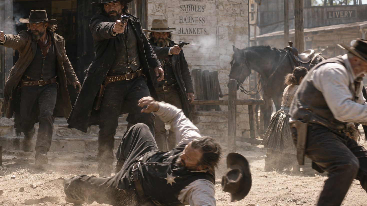
AI illustration: the fight at Round Rock, July 19, 1878.
On Saturday morning Sgt. Nevill of Lt. N. O. Reynolds's company found a man under a tree in a pasture north of town and took him for a railroad hand. At about 20 feet the man held up his hand: "Don't shoot; I am unarmed and helpless; I am the man you are looking for; I am Sam Bass."
Asked to name his partners, he refused, as Major Jones reported it: "it is agin my profession to blow on my pals. If a man knows anything he ought to die with it in him." The question was names, not money. He died in a shack across Mays from the store on Sunday, July 21, his 27th birthday. His last recorded words were "the world is bobbing around me." Ira Aten, 15, whose family farmed near Round Rock, stood close enough to watch. The 1981 state marker, if it still stands, is just west of Mays, across Round Rock Avenue from where he died.
He lies in Round Rock Cemetery, near where the gang camped, in plot A-1-52 under the Sam Bass Centennial Commission's granite, his original hand-scribed marker, the Cemetery Association says, flat in front, with Barnes beside him under a stone calling him Bass's "right bower." Murphy died of poison on June 7, 1879, the city says, and how is disputed. Gillett, writing in 1921, has him draining a bottle of eye medicine a doctor had warned him was deadly: "Remorse, no doubt."
Bass died a few miles from a cave at McNeil that bore his name by 1897 and 2 miles from a hollow tree, with a Spanish silver legend at Leander close by them. The gang came to town with a $5 bill, said to be their last, and Bass gave what he had to a man who got away. On this road there was nothing left to bury. The digging started anyway.
A huge rock with a skull and crossbones drawn on it, blocking a cave mouth in a high Colorado River bluff below the destroyed Austin dam. Fortune hunters opened the cave in July 1903 and found a chamber about 150 feet long, "described as an ideal fortress," and human bones. The dispatch ran under "HUMAN BONES FOUND," then got to the point: "There is a legend hereabouts that two treasures are buried near Austin, one by Mexicans, who were pressed by Indians, and the other by Sam Bass and his gang of robbers, who were chased by officers. Hundreds of tons of earth have been moved from holes by seekers of the gold, but no find has been made."
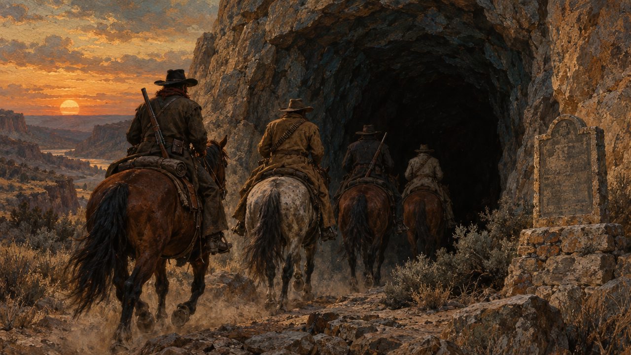
AI illustration: riders at a bluff cave, the kind of hideout the stories gave Bass.
No primary source we found shows the 2 legends traveling together and staying apart more plainly: 2 treasures, 2 sets of pursuers, the same holes. As for the cave, nothing we checked says what became of it or whether anyone can reach it today.
By June 1897 an Austin Weekly Statesman travel piece already treated the Sam Bass cave at McNeil as a local landmark, describing a "Robbers' cave" that "is believed to be connected with the Sam Bass cave at McNeil, three miles distant." In 1918 "Sam Bass Cave, McNeil, Travis Co., Texas" became the type locality of the cave beetle Comstockia subterranea. Webb called it a hideout in 1924. Only in 1935 did Gard report it "said to have received some of the stolen treasure." The "$30,000 buried near McNeil" of modern retellings is not in Webb, who put his $30,000 in Montague County. For all that paper, we found nothing on what is at the McNeil cave now or whether anyone may visit.
The dispatch's Mexicans pressed by Indians have a match north of Austin. The Leander silver story traces to Henry C. Fulcher in the Austin American of October 14, 1923; as retold now, a pack train of burros carrying 40 jack loads of silver ran from Comanches, and the men buried it near where Leander stands, a few miles from the Bass cave and Gard's hollow tree.
Several years after the turn of the century, Gard wrote, a Round Rock liveryman, N. B. Hamilton, got a map in Mexico "from an American there" pointing to that tree, "on the old Leander and Liberty Hill road, two miles northwest of Round Rock." By Gard's account, he, B. H. Allen and George Townsley chopped it down late at night by lantern light, and "the only metallic substance they found was a single rusty nail." Modern retellings put a hollow tree of their own on Sam Bass Road, once Old Cemetery Road, about 2 miles west of Round Rock. The road runs northwest from Old Town past the cemetery where Bass lies; the tree is gone, and no source says where it stood.
The physical scars are at a sinkhole cave on the old Jack Dies Ranch in Cedar Park, where the Texas Cave Conservancy's sign recorded "extensive old excavations" and a hand-dug well 50 to 60 feet deep. The conservancy itself asked whether the diggers wanted Bass's gold or just water. The sign's verdict, "No gold was located," came with an offer the conservancy could afford: "feel free to keep any gold that you might find." No evidence puts Bass there. The cave sits on a 0.29-acre homeowners association lot between 2 houses on Gholson Drive, not open to the public; look from the sidewalk and stay out.
The case against all these holes is the ledger told above. No period source puts Bass in Burnet or Llano County, and his documented 1878 route stays east of the Balcones. No source we checked records a find of a Bass coin, which would be a $20 double eagle dated 1877. Plausibility: 1, with Longhorn Cavern and the Menard presidio, though unlike them this is ground Bass really rode.
Some of the record is in Austin, where the Texas State Library and Archives, east of the Capitol, holds a Bass reward poster and the 1878 pay voucher of Junius W. Peak, commissioned to hunt the gang; ask for them in the reading room. The map below shows what the diggers never consulted: every place the record puts Bass, the guesses dashed and the last ride solid, town to town, and the empty quarter west of the Balcones where the Spanish legend lives. From here the story crosses into that quarter, to the creek where Jim Bowie went looking for the mine and found a fight.
The 11 names on a 1936 marker listed on a farm-to-market road southwest of Brady, 2 of them servants, 1 of them misspelled, and a distance Dobie was still arguing over in 1930. The names are James Bowie's party of 1831. The distance is how far from the Spanish ruins they camped.
Dobie's 1930 version opens with legend: Bowie among the Lipan Apache under Chief Xolic, shown their Spanish silver, betraying his adopted tribe, with Tres Manos as the avenger. Then Dobie stops himself: the story "thus far has no support from history. What follows is of record."
On November 2, 1831, Bowie, his brother Rezin and 9 others left San Antonio, where Miranda had set out in 1756, to look for the San Saba mine on Veramendi money, with Political Chief Ramon Musquiz's permission. On November 19 they learned a war party was following. The attack came "about daylight on the twenty-first," Dobie says, and lasted about 13 hours by the Handbook of Texas.
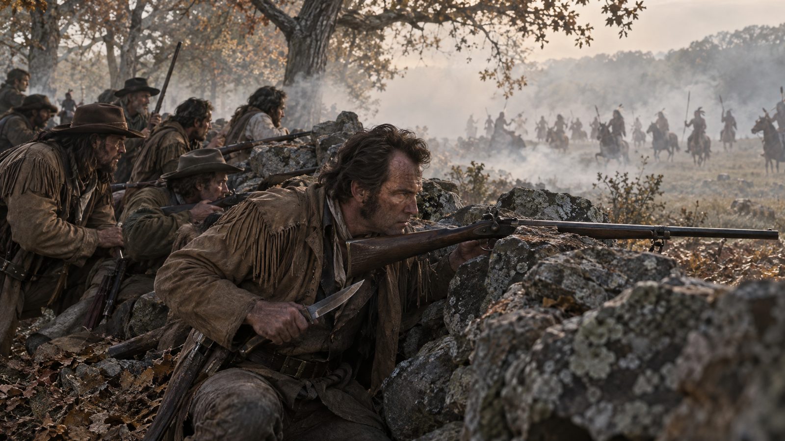
AI illustration: the Bowie party's fight, November 21, 1831.
Bowie lost 1 man, Thomas McCaslin, and the party limped back into San Antonio on December 6. He never went looking again, and died in a room on the south side of the Alamo compound on March 6, 1836. The church and the Long Barrack still stand on Alamo Plaza.
The marker gives the same date, November 21, 1831, and names the 11: "James Bowie, Rezin P. Bowie, David Buchanan, Cephas D. Hamm, Matthew Doyle, Jesse Wallace, Thomas McCaslin, Robert Armstrong, James Coryell with two servants, Charles and Gonzales." They "held at bay for a day and a night, 164 Caddos and Lipans. After 80 warriors had been killed, the Indians withdrew." Doyle should be Doyal.
Beyond the date and the 11, the numbers drift: the war party at 100 to 164 or more, Tawakoni in the Handbook's McCulloch County entry, and the dead at 40 to 80, counted only by the participants. Rezin's account ran in Atkinson's Casket on September 1, 1833.
The Handbook's entry on Rezin puts the camp "in an oak grove six miles from the ruin" and makes the ruin the mission, not the presidio. Dobie read Rezin as saying 6 miles east of the San Saba fort and argued for Jackson's Creek, "some six or seven miles east of the old presidio," where, he said, rocks look like a hasty fortification and a cave is near. No archaeology has confirmed it.
The 1936 marker opens "In this vicinity," never names Calf Creek, and is listed 19.6 miles almost due east of the presidio marker at Menard. A second 1936 marker, on the Brady courthouse square, claims both the geographic center of Texas and the "1831 Calf Creek Battle, where James Bowie, Alamo hero, defeated 100 Indians." The Handbook puts the center 16 miles northeast of Brady.
The treasure story came later. In 1905 John Warren Hunter wrote that Bowie's rock barricade on Calf Creek was "still traceable" and "would be almost intact but for the hand of the impious treasure seeker." In 1930 Dobie wrote that the remains of "Bowie's Fort" were "yet visible," the stones scattered by seekers who believed "the cave near the Bowie camp held 'something.'" No find is documented.
In 2013 the columnist C. F. Eckhardt passed along a family tradition from Ralph A. Doyal, grandson of Matthew Doyal: the party forted up near a spring and later buried packs of silver nearby, "waist deep on a tall man," about 3 feet by Eckhardt's estimate. The fight is real and twice marked. The silver is another matter: the family story has no document behind it, the Bowies found no mine, so any silver had to be carried in, and no account of the fight mentions burying anything.
Julia Estill even recorded a confession, secondhand: a guide who said he had ridden with Bowie broke down under threat of hanging, admitted there was no Bowie Mine, and said he had told the story so often "that I have actually got to believing it myself." It is weak as history, since he called himself "one of the few that escaped" and the party lost only McCaslin. Plausibility: 2. A real battlefield with a borrowed treasure.
The marker is listed in situ on FM 1311, about 3.3 miles south of US 190, which FM 1311 meets 10.9 miles west of Brady. It was last photographed in January 2010, so confirm it on arrival. The battlefield is unmarked and its spot unknown, with no public access documented to the spring, barricade or cave: treat everything beyond the road fence as private.
If the silver was ever anywhere, it was not in a pack on Calf Creek but in a hill in Llano County, and that hill has a rival: a mountain where the Bass legend and the Spanish legend share ground and a story without ever shaking hands.
In a story J. Frank Dobie told in 1955 and doubted, 6 cedar pickets, "exactly six," leaned against a cliff on Packsaddle Mountain after a rain. He said why, of Sam Bass: "The records, I believe, don't show that he ever went to Llano County. Just the same, a big jag of Sam Bass gold wrapped in a canvas mailsack branded US was buried out there, they say."
AI video: the Packsaddle tale of Bass gold in a US mailsack, a story Dobie himself doubted.
Out there, Packsaddle is a rugged, densely vegetated hill about 5 miles southwest of Kingsland across the Llano River, 1,628 feet high and 650 feet above SH 71. Several private ranches divide it, and the Stotts family's cattle and goat ranch holds the peak and most of the old workings.
The Spanish legend got there first, along 3 lines. In Julia Estill's 1924 "Legend of the Blanco Mine," the mine "is said to be in a cave somewhere on or near Packsaddle." Her Blanco is a Mexican; Dobie's, in 1930, is a Spaniard. In a 1924 note Dobie wrote that "almost the same story" is told of the Bowie Mine, "magic circle" and all, and in 1930 he would not settle it: "Men have all but shot each other in arguments over this very question."
The second is in letters by Jim Rowland that Dobie owned: in the fall of 1860, they say, Rowland and Larimore took "about a hundred pounds of the ore," silver-bearing lead, from a javelina den to mold bullets, and Larimore buried the opening. The third came in 1926, when G. W. Burton and W. P. Bankston told the Austin American-Statesman they were reworking an "old Spanish mine" near the summit, with "a Roman cross carved into a rock" and daggers carved in trees. E. G. Littlejohn adds a "brook of gold," found within sight of the mountain by McCulloch's rangers, the story goes, and never relocated.
From 1998, geologist S. Christopher Caran's team recorded 3 generations of mining here, "some of which probably date to the Spanish Colonial era," and argued that a 1750s mine stood on the Stotts ranch, making Packsaddle a rival site for Los Almagres, a conclusion "not shared universally." The miners dug into a gossan, an iron-stained weathered zone, and geochemical analysis turned up no precious or base metals "exceeding background levels." A metal-detector survey reported in fall 2025 spent 9 days in the field and found 29 artifacts, among them horseshoes, nails and cartridge casings. No coin appears on the list, and the 1926 carvings were not found.
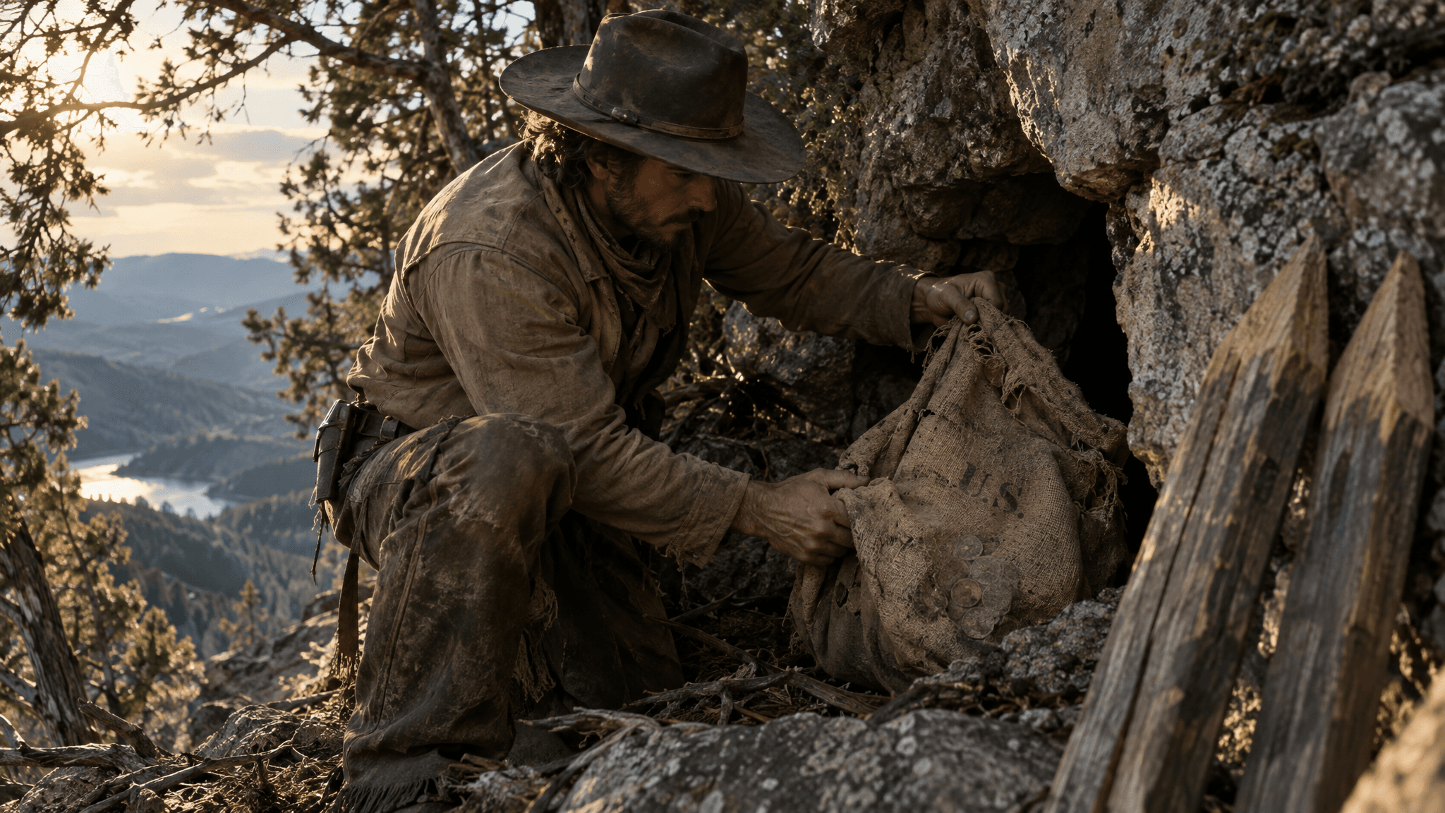
On top of all that sits the mailsack. As Dobie told it, a ranchman hired 3 Mexican men to cut cedar pickets and left them in camp. After a rain he came back to a deserted camp, unclaimed wages and the pickets. The tale says 2 of the men had pushed through a very thin wall into a small cave, and just inside lay "a piece of an old mail sack, the U.S. brand still visible on it, prints of coins showing on it too." In Dobie's words, "The Mexicans had taken the gold and lit a shuck." Legends of America, citing nothing, retells it with a single "Mexican laborer"; separately, it says "some say" canvas sacks marked "U.S." and full of gold were hidden in a cave on the mountain.
Here the 2 legends share a mountain without merging. The Bass tale borrows the Spanish plot, a hidden cave and Mexican finders who vanish, but keeps the treasure American: a "US" sack and the prints of coins. The case for the mountain is physical: it is the strongest rival to Los Almagres for Spanish-era hand workings. The case against is everything else: no precious or base metal above background, no coin in 9 days of detecting, and a doubter's Bass tale in which the gold is already gone. Plausibility: 2.
What a visitor can reach is a 1936 state marker on SH 71 near CR 309, commemorating the fight of August 4, 1873, "The last Indian battle in this region." It says nothing about mines or Sam Bass, which, around this mountain, counts as restraint. Photograph the peak from SH 71 or from CR 309, a public county road. The mountain itself has no trail, park or hours. It is private land, held by several ranches.
On this mountain the Spanish case stops at Caran's "probably." Across Honey Creek is the one place in this story where Spaniards verifiably sank a shaft, and somebody wrote down the assay.
Only 10 ounces of silver to 100 pounds of ore, the figure on Texas Historical Commission marker 9437 (1971), listed on SH 71, and the whole weight of the Lost San Saba Mine rests on 3 pounds of rock chosen by hand. Lt. Juan Galván first heard of a cerro de almagre, a hill of red ochre, and in August 1753 Apaches guided Spaniards to it.
The Handbook of Texas has Lt. Gov. Bernardo de Miranda y Flores, commissioned on November 15, 1755, leaving San Antonio on February 17, 1756; Weddle's entry gives his party as 23 soldiers and citizens, back on March 10. In between, at the Cerro del Almagre, now the Riley Mountains, a quarter league from Honey Creek in Llano County, his men opened a shaft they named San José del Alcazar.
Miranda reported, in Robert S. Weddle's English for the Handbook, "a tremendous stratum of ore," enough for "a mine to each of the inhabitants of the province of Texas." Dobie, working from a transcript in a University of Texas archive, counts the party differently: 16 soldiers, 5 citizens, an interpreter and several peons. He says the citizens filed 10 mining claims and Miranda asked for a presidio of "at least thirty men" to guard the mines.
Then came the assay. The marker says the 3 pounds ran "only ten ounces of silver to 100 pounds of ore," which Dobie called "a good showing." The Handbook gives no ounce figure at all; it says the sample "was deemed too small for accurate analysis." The mine owner Manuel de Aldaco advised the viceroy, Dobie says, that "three pounds of handpicked ore could not be relied upon," that "some silver had been present in the reagent," and that "at least thirty mule loads" should go to Mazapil for testing. Ortiz Parrilla's smelting at the San Sabá presidio, told above, got a fifth of Miranda's grade. A tiny handpicked sample tested with a suspect reagent is weak evidence of a rich lode.
On November 23, 1757, the viceroy named Miranda captain of a presidio for the mines. Then the plan was dropped, and the mine "was never officially opened." The legend that maps later moved to the San Saba began with a mine that was never opened. Spain kept trying: Governor Ripperdá sent samplers in 1778, Alexandre Dupont carried samples to Mexico and never came back, and Apaches attacked 6 San Antonio prospectors at Los Almagres and left a single survivor.
Working from Miranda's journal in a Mexican archive, Herbert E. Bolton identified the old Spanish working as the Boyd shaft on Honey Creek (the journal was published in English, in Roderick B. Patten's translation, in 1970). Dobie, quoting Bolton, dates the identification to 1907. A Los Almagres Mining Company formed by J. Farley of Dallas bought about 1,700 acres around the shaft, and the Handbook says the U.S. Geological Survey mapped the site in 1909 and "described the mine as being unproductive." Dobie found no sign the company spent money developing a mine; by Coppedge's account its results were modest and it closed 2 years later.
In 1911 Sidney Paige's USGS Bulletin 450 granted that "small quantities of gold may be found at many localities throughout the pre-Cambrian area" of the Llano Uplift, then added that "in general the quantity is so small as to be valueless from the standpoint of a mining enterprise."
The rest is lore. Legends of America, a modern roundup with no known early source, has Bass burying "$60,000 in gold and silver coins" near Castell, the spot marked by a rock in a tree fork. The figure is the Big Springs express-car haul 6 men split, not Bass's share, and the documented loot had no silver. Castell, settled by Adelsverein colonists in 1847, is now a Llano River hamlet with a general store, a May festival and a low-water bridge; no source locates a treasure there.
Los Almagres has the strongest documentary footing of any site on this map. Spaniards really dug here and kept coming back, but no record shows silver produced, smelted or stored here, so there was nothing to hide. Plausibility: 2, and the 2 is for the hole. At the pin there is only THC marker 9437, listed on SH 71 about 15 miles southeast of Llano near Honey Creek. Bolton's diggings lie roughly 10 miles west of it, with no public trail or overlook in any source we checked, so photograph the hills from public roads unless a landowner gives you permission.
That is the Spanish side of the map, read to the end of its ledger. The rest of the walk is American coin again, and it begins with the one Bass tale in which somebody claimed to have touched gold: a farmer, a mule and a walnut box.
A saddle girth broke when a mule lurched near Skeen's peak in Parker County in January 1879, the story goes, and while its rider mended the girth, he noticed a pile of fresh dirt covered with brush and took it for a grave. The tale comes from Wayne Gard, writing in the Southwest Review in 1935. The rider was Henry Chapman, a young farmer of the Springtown country, and 6 months after Bass died he was on his way from Harrison's gin at the pool on Clear Fork to Squire Milliner's place near the mouth of Salt Creek. Thinking the mound might hide a murdered man, he dug, and what he unearthed, as he related afterwards, was "a walnut box big enough to hold a bushel and a half," and the box was "crammed with gold and silver coins, including many twenty-dollar gold pieces."
Then the story turns. As the coins clinked into his saddle sack, Chapman looked up and saw 8 men advancing on him with their guns leveled at his head. Unarmed, he galloped off on the mule. He was sure, he said, that they were associates of Sam Bass who had come back for treasure "they had helped the outlaw bury during the previous summer."
The case for it is respectable. It is early in its setting, if not in its telling. It names its ground in detail: Harrison's gin, the pool on Clear Fork, Squire Milliner's place, the mouth of Salt Creek, Skeen's peak. A historian could check every one. The coin is right: the Big Springs gold was all double eagles, and Chapman's box, as he told it, held many. The gunmen account for the missing box. Even the silver does not kill it outright, because the small Texas train jobs of 1878 did bring in some: at Hutchins, a late and popular pamphlet of 1944 says, Bass broke in on the express messenger and found "only about $350 in silver."
The case against weighs more. There is a single witness and no paper: no printing of the story from 1879 has turned up, and the version we have is Gard's, from 1935. The mix is wrong, too. Bates, the Denton County historian, wrote in 1918 that the Big Springs robbers "had plenty of silver but could not bring it away on account of its weight," so what came south was gold coin and nothing else. Nothing documents Bass near Skeen's peak, and the ledger has him out of money by the summer the box was supposed to have gone into the ground. Later retellings let the date drift. And the gunmen cut both ways: they explain why no box was ever produced, and they leave the tale with nothing anyone could count. Gard never says what became of the coins already in Chapman's saddle sack.
AI illustration: the ledger, which has Bass's money gone by July 1878.
Plausibility: 2. It is the best campfire story on the map and the least checkable. There is nothing to drive to. The story puts it near Skeen's peak in Parker County, and nothing in the record marks the spot.
If Chapman read them right, his 8 gunmen came back for gold the gang had buried, which is more than the record shows the gang itself doing. The gang itself, in May 1878, was running southwest with double eagles in its pockets, and the next section follows it into the Caddo Creek mountains, the setting of the second burial rumor printed in Bass's lifetime.
A handful of $20 gold pieces held out in a Stephens County store in May 1878, and one of the Bass gang saying, "that is what the Sheriff and his posse want." The gang bought "eight dollars' worth of provisions" at McClasen's store, and a Breckenridge report had them "flush with twenty dollar gold pieces."
Behind them, back toward Dallas, was the spring's work, 4 trains robbed "within twenty-five miles of Dallas": Allen Station on February 22, $1,300 by the City of Round Rock's count and "nearly $3,000" by the 1878 book's; Hutchins on March 18, "probably not over $300," with the station agent and others marched ahead as shields; Eagle Ford on April 4, a take the express company said "will not exceed fifty dollars"; Mesquite on April 10, where, by the state marker's account, the gang "took $152" and "missed hidden shipment of $30,000." The 1968 state marker at Heritage Plaza in Mesquite names 5 men: Bass, Seab Barnes, Hank Underwood, Arkansas Johnson and Frank Jackson. Mesquite, the City of Round Rock says, brought in the Rangers; in April Governor Richard Hubbard commissioned Junius W. Peak to raise a detachment against Bass.
AI illustration: counting a take in the spring of 1878.
In Stephens County, a woman near Caddo Creek tipped off Deputy Sheriff Freeman. The gang had "been camped there in the mountains for upward of two weeks," supplied by Jackson's brother-in-law and other kin. A dispatch reported, "Sam Bass with five of his men is surrounded on Big Caddo." The Stephens County posse met them near a store 13 miles east of Breckenridge on the Palo Pinto road, where "about forty shots were fired by each party," and chased them about 2 miles into the mountains, but the gang knew "the mountain defiles." On May 31 the posse gave up in "the cedar brakes and mountains, fifteen miles east of" Breckenridge.
The burial line came from a correspondent in Breckenridge, not at the camp: "They are said to have $5,000 with them and to have buried the balance." It is unattributed, its newspaper unconfirmed, and the book that reprints it dates a follow-up "Tuesday morning, May 26th." May 26, 1878, was a Sunday.
In 1935 Wayne Gard wrote that "a wild recess in the hills of Palo Pinto County has become known as Sam Bass Hollow." It is a federally listed valley said to be named for Bass hiding there, but Gard did not tie it to the camp, whose site is unknown. The hollow lies 8 to 9 miles northeast of Caddo, unmarked, outside Possum Kingdom State Park and very unlikely to be seen from a public road. Caddo had fewer than 50 residents by 2000, and its state marker, "Caddo" #12870, is listed as missing. No public access to the hollow is known, and its ownership was not checked, so do not cross fences or gates without the landowner's permission.
The case for the rumor is better than most: printed in Bass's lifetime, about a gang seen with gold and supplied by kin in country it knew. The case against is heavier. "Said to have" carries no name, the line never says where, and "the balance" may mean money back in Denton County. The gang was surrounded and fleeing, and Bass spent his last Union Pacific coin at Waco 7 weeks after Big Caddo. The hollow's name carries no treasure story in the record. Plausibility: 2.
Peak's Rangers found the gang on June 12 "in the tangle wood along Salt creek, near Cottondale," about 10 miles southwest of Decatur. Sergeant Floyd of the Stonewall Greys of Dallas dropped to a knee and shot Arkansas Johnson dead at Bass's side. The rest "concealed themselves in a large excavation" under the creek bank, and when a Ranger stood in plain view and Jackson asked whether to shoot, Bass said, "no, not unless he turns this way." So there is a Bass hole in the record after all, and what it hid was the gang. The fight, the 1878 book says, "virtually ended the great campaign," in which the gang had been under fire "something like a score of times." Underwood and 2 others disappeared. The rest stole horses the next night and headed back toward "their old hiding places in Denton and Cooke counties." Home was the creek bottoms around Denton, where back in April a gentleman had told a correspondent about $8,000 more. That rumor is next.
A strip of timber 10 miles long between Hickory and Elm, 4 or 5 miles wide, in which, a correspondent wrote from Denton in April 1878, the gang could "camp most anywhere without being seen, except by friends." The same letter added, "Bass is said to own a saloon in Denton." The friends were old ones.
AI video: riders in the timber between Hickory and Elm.
Bass was born July 21, 1851, near Mitchell, Indiana, orphaned before 13, and after about a year at a Mississippi sawmill came into Denton late in 1870 with a teamster named Scott Mayes. He worked at the Lacy House and later for Sheriff W. F. Egan, who called him "a very sober and industrious young man," and in 1874 quit to race the Denton Mare. Dying, he said he "started out sporting on horses" and got worse "because they robbed me of my first $300."
On the square today the Lacy Hotel site, at Oak and Locust, is the Texas Building, where a 1973 plate says Bass "worked here briefly as a livery stable boy," about a year and a half by the 1878 pamphlet's count. The 1896-97 limestone courthouse, home to the Courthouse-on-the-Square Museum, has a 1970 marker charging the fire that burned an earlier Denton courthouse to "a member of the Sam Bass Gang of outlaws."
Accounts differ on where Davis parted from Bass. In Gillett's version, the pair came home together late in 1877 with the gold and "hid in the elm bottoms until Bass could interview some of his friends." In those bottoms, a pursuer wrote, the gang had "made every hog path a study." The April letter also reported that they once got the drop on an officer and made him drink with them, and left another friend "twenty dollars in gold." The Denton Monitor of April 13, 1878, found "no charge against any of this party, in Denton county," except Henry Underwood's, for carrying a pistol.
The correspondent's letter, dated April 11, holds the oldest buried-money report we found. A gentleman in Denton, he wrote, had told him that "either Bass or Underwood sold $1,000 in gold to a citizen not long ago, and said he knew where $8,000 more was buried." It is hearsay twice removed, the seller unsettled, the spot unnamed.
Ed. F. Bates, the county's 1918 historian, fixed 2 camps: Horse-Shoe Bend on the Elm Fork, about 2 miles northeast of Garza, about 4 timbered acres moated by deep water and entered by a neck about 200 feet wide; and the Hickory Creek bottom about 4 miles south of Denton, where a posse took 3 of their horses and the gang took them back from the Denton livery stable at daybreak. Captain Junius W. Peak brought 75 Rangers to Denton, "paraded his men around the public square" and left without the gang. Sympathizers helped, Bates wrote, "as long as their money lasted."
A letter from the pursuit put "the first battle," with Deputy Withers's posse, at Pilot Knob, "about six miles south of Denton," on a Saturday the pamphlet cannot reliably date. Denton marshal George Smith was wounded, and Riley Wetzel was shot "by one of Eagan's men." The sandstone knob now stands inside Hillwood's Landmark development, where homes are going up; Hillwood says "Pilot Knob will be in conservation in perpetuity." It is private land and, as of Hillwood's June 2026 update, not open to the public. Bring a long lens to Robson Ranch Road.
In 1935, 57 years on and citing no 1879 source, Wayne Gard wrote that Black families on Elm Fork and Hickory Creek huddled with the lights out, sure Bass's ghost had come back to "dig up his buried gold," and that a Denton saloon-keeper was "said to have buried" $600 of Sam's double eagles. Denton County's formally named Sam Bass Cave was in the medical literature by 1931, through relapsing fever. In 1945 Charles L. Wisseman Jr. located it on Jinglebob Hill near Roanoke, where ticks from its sandy floor carried the fever and a collector fell ill 7 days after a bite. Like McNeil's, the only other Sam Bass Cave in science, it has no treasure tradition that holds.
The case for: his base, his friends, a newspaper on his side, and $8,000 as a believable remainder of a share reckoned at about $10,000. Small sums left with friends are the likeliest shape of any Bass cache. The case against: the letter's own hearsay, and July, when the gold was gone. Plausibility: 3, tied for the highest on this map, and much of it is underwater. Lewisville Dam, begun November 28, 1948, and finished in 1955, impounded Clear, Little Elm, Stewart, Pecan and Hickory creeks. The best wooded Hickory Creek bottom left to walk is at Old Alton Bridge, an 1884 King Iron Bridge truss with a 108-foot main span, foot traffic only since 2001, a stand-in built 6 years after Bass died.
Bates tells the ride home differently. Northwest of this range, past Bolivar on Clear Creek, is the one place the record names for the moment Bass came home with his whole share. The other 3 is next, and it is a thicket with a small entrance.
An old buggy with its tires tied on with rawhide, an old gray mare, and, by a county historian's shaky arithmetic, about $38,000 under the seat, turning off the Chisum trail into a thicket on Clear Creek. In Ed. F. Bates's 1918 Denton County history, Bass and Jack Davis, "both the looks of poverty itself," camped a night at a watering hole beside a squad of men hunting the robbers, then "did not come on to town, but stopped at 'Cove Hollow,' on Clear Creek, a splendid place to hide." Bates places it "west of Bolivar on Clear Creek, a thicket unapproachable except by a small entrance." His figures disagree with each other and with the 1878 book: $19,000 each, $10,000 each, $38,000. He puts no Murphy house there, dates the Round Rock fight to 1877 and puts the Black Hills in Colorado.
AI illustration: Bass and Davis heading home with the gold under the seat, as Bates and Bass's own boast tell it.
Davis took his share toward Louisiana. Bass stayed, outfitted 6 to 8 men in Fort Worth with Winchesters, Colt navies and fast horses, and rode a chestnut-sorrel race mare himself. On April 28 or 29, 1878, lawmen surprised the gang at what a Denton paper calls "Jim Murphy's Cove Hollow house outside present-day Sanger," and bullets hit Bass's cartridge belt and rifle stock before he got away. Harvey N. Castleman's 1944 pamphlet has a Ranger firing "clear across Cove Hollow, a distance of perhaps 500 yards," yet puts Murphy in "a shack between Cove Hollow and Denton." The 1878 book never uses the name Cove Hollow and records no raid at Murphy's house on either date.
The federal map knows a single Cove Hollow in Texas, a valley that runs northeast to Clear Creek near Rosston in southwestern Cooke County, and it fits Bates's directions best, though no historical source ties his Cove Hollow to it directly. A 60-foot flood-control dam, completed in 1962, now stands inside the hollow.
Murphy's house is harder to place. The 1878 book puts Jim's home "near the line between Denton and Cooke counties" and leaves him with his reward "at his home near Rosston in Denton county," wrong only on the county. A great-great-granddaughter's 2013 account puts Henderson Murphy's ranch house "atop a barren hill in Cooke County, near the little town of Rosston," where Jim and his father were arrested on May 3, 1878. After Jim died in 1879, she writes, Henderson "secluded himself on his remote Cooke County ranch." Denton County's history office says Jim "would buy gold coins off of Bass" on Henderson's ranch. No original land survey under the hollow carries a Murphy name, and no deed yet fixes the house.
The burial story came late. Wayne Gard wrote in 1935 of "other men with other maps" digging "for Sam's gold in the neighborhood of Cove Hollow," which he dated "two decades later" than N. B. Hamilton's dig at the hollow tree near Round Rock. Castleman said it flatly: Bass "stopped in a wilderness known as Cove Hollow, about 40 miles from Denton, and buried most of the money." His 40 miles matches the modern road distance, 39.8 miles, not the straight line of about 24. Castleman leans on Gard, cites no source for the burial and misdates the robbery to September 19, 1877.
For the hollow: it is the one place a source, Bates in 1918, puts Bass with his whole share, about $10,000 by even division, a figure nobody ever counted. The gang kept coming back to the Murphys, and the family that sheltered him handled his gold. Against it stands the ledger: $4,000 into greenbacks at Fort Worth, $1,800 to William Collins, the last $20 on a Waco bar, a $5 bill at Round Rock. Bates himself says the money "gave out." No find has been reported. Plausibility: 3, the best of a poor field.
No public road enters the hollow, and county gravel comes within about a mile. The state's atlas lists no marker within 5 miles. The nearest naming Bass, Bolivar's 1970 townsite marker at FM 2450 and FM 455, says "Bolivar and the surrounding area were havens for Sam Bass and his men"; no recent photo confirms it still stands, so check before making the drive. The Handbook of Texas says that, according to local lore, Bass used the Rosston area as a rendezvous, and that the town holds a Sam Bass Day on the third Saturday in July, though we could not confirm it still does. So the top of the ranking is a creek valley with a flood-control dam in it, private until proven otherwise and seen, if at all, from the road. Anyone who still wants to go looking should first know what the roads reach, what the fences mean, and whose gold it would be.
Start where he finished, at the limestone storefront on East Main in Round Rock where Deputy Grimes was killed on July 19, 1878. Photograph it from the sidewalk. Then look for the death-site plate, if it still stands. Round Rock Cemetery's entrance is on the north side of Sam Bass Road, half a mile west of I-35, and the gates are open sunrise to sunset. It is an active burial ground: stay off graves, touch no stone. Chipping a souvenir off one can be a state jail felony.
In Cedar Park, see the Dies Ranch lot on Gholson Drive from the street only. In Austin, the Texas State Library and Archives, east of the Capitol, is free, with reading rooms open Tuesday to Friday. Georgetown has the Williamson Museum.
Up I-35, Waco's Ranger museum at Fort Fisher is open daily. No robbery marker has been found at Hutchins, only the Palestine Street crossing on the old Houston and Texas Central line, where trains need over a mile to stop; keep to the sidewalk. Eagle Ford's community marker is at Fire Station 16 on Chalk Hill Road. Mesquite's 1968 marker is in Heritage Plaza, and the depot is gone. At Allen Station Park, read the 1998 marker, then walk up the trail to the 1874 stone dam, which belongs to a State Antiquities Landmark: disturb nothing.
In Denton, see the 1973 plate on the Texas Building and the Courthouse-on-the-Square Museum, which is free and closed Sundays. Pilot Knob is private until Hillwood's promised, undated opening. Old Alton Bridge, south of FM 2181, is foot traffic only. Most of Bass's old bottomland is under Lewisville Lake or its federal shore, where the Archaeological Resources Protection Act applies and digging is barred. Northwest lie the Bolivar marker and Cove Hollow. No public road enters the hollow; look from FM 455 or the gravel county roads and block no gate. Spanish Fort, at the end of FM 103, has 2 state markers on its square; stay on the shoulder. North of Caddo, Possum Kingdom State Park, $4 a day, is the nearest public land to Sam Bass Hollow, which you will almost certainly not see from the road.
Longhorn Cavern's grounds are free, its cave tours start at $24, and it closes December 25. On SH 71, pull fully off at CR 309 for the 1936 Packsaddle Mountain marker; the mountain is private. The 1971 Early Explorers in Llano County marker, listed near Honey Creek, is roughly 10 miles from the Boyd shaft. At Castell, never stop on the low-water crossing by the 1964 German Settlements marker. Enchanted Rock is $8 a day; reserve a pass.
At the Calf Creek marker, last photographed in 2010, pull well off and cross no fence. At Menard, the presidio is free and self-guided. The mission marker is on FM 2092, 3 miles east of town; no source names the owner of the field behind it today, so stay on the roadside. The Alamo is free; the church requires a reservation. The map's far end, Big Springs, Nebraska, sits on the live Union Pacific main line. No source we found puts its Bass robbery marker on a street, so ask in town.
The law, once and plainly. Less than 5 percent of Texas is public land, so the owner's permission is the whole question. Entering or staying on land you do not own, without consent after notice, is criminal trespass: a Class B misdemeanor by default, up to $2,000 and 180 days, Class C on agricultural land within 100 feet of the boundary and Class A with a deadly weapon. Notice includes livestock fencing, signs and purple paint marks at least 8 inches by 1 inch, 3 to 5 feet off the ground. Texas gives embedded finds to the landowner: in 1955, in Schley v. Couch, $1,000 apparently buried in a glass jar under a garage floor near Hamilton went to the landowner, and the Texas Supreme Court declined to recognize treasure trove. County- and city-owned historic sites are state archeological landmarks automatically, the presidio among them, since Menard County owns it. Digging one without a permit can cost up to $1,000 and 30 days. State parks ban metal detecting and disturbing rock, earth or artifacts without a permit, up to $500 a violation; bills to allow recreational detecting in designated areas were filed in 2001 and 2007, and the permit requirement still stands.
Wayne Gard closed the treasure part of his 1935 article in the Southwest Review with a warning: "As long as the Sam Bass legends persist, no Texan can be sure he will not awake some morning to find a ton of earth removed from his front yard by some romanticist who has just come into possession of the one authentic treasure map." The legends persist. So before a word about land, here is the record on the counties where we sell it.
No source we checked puts Sam Bass in McCulloch, Menard or Kimble County. The nearest Sam Bass tie runs the other way. About 2 hours after the fight at Round Rock, Lt. N. O. Reynolds rode in with 10 men of Company E of the Frontier Battalion, having come 100 miles from San Saba since 7 o'clock the evening before. In October 1877 the company had set up camp on Bear Creek, about 4 miles northwest of Junction, where a 1966 state marker stands on Hwy 1674.
That is where the record stops. Here is the land. Lohn Hollow Ranch is the biggest thing we sell: 77 surveyed tracts in the valley north of Brady, in McCulloch County, 10 to 124 acres, from $77,550. Elm Springs has 4 tracts in Menard County, 18 to 36 acres, from $208,840, and X-E Ranch has 6 in Kimble County, 13 to 17 acres, from $231,000. The survey is the only map we hand out, and the only thing it marks is the line.
We carry the note ourselves, in house, and the estimator on each tract page shows what the land costs by the month.
Read next: Lohn, Texas: The Town the Railroad Never Found
The illustrations and video clips in this story were made with AI. They are not photographs or period images, and their details are imagined.
Sources: Life and Adventures of Sam Bass (Dallas Commercial Steam Print, 1878); Ed. F. Bates, History and Reminiscences of Denton County (McNitzky Printing, 1918); James B. Gillett, Six Years with the Texas Rangers (1921); J. Frank Dobie, ed., Legends of Texas (Texas Folk-Lore Society, 1924), including Walter Prescott Webb, "The Legend of Sam Bass," and Julia Estill, "Legend of the Blanco Mine"; J. Frank Dobie, Coronado's Children (Southwest Press, 1930) and "The Robinhooding of Sam Bass," Montana: The Magazine of Western History (1955); Wayne Gard, "Sam Bass, Real and Legendary," Southwest Review (1935); Harvey N. Castleman, Sam Bass, the Train Robber (Haldeman-Julius, 1944); Handbook of Texas Online (Texas State Historical Association), entries by Wayne Gard, Robert S. Weddle, Kathleen Kirk Gilmore, Vivian Elizabeth Smyrl and others; Sidney Paige, Mineral Resources of the Llano-Burnet Region, USGS Bulletin 450 (1911); S. Christopher Caran, Economic Geology Resources of the Llano Uplift Region (AIPG Texas Section, 2016); Hank Hall, Packsaddle Mountain survey (Texas State University, 2025); Texas Historical Commission markers 3285, 4212, 4815, 6591, 9031 and 9437 and its archeology publications; Texas Parks and Wildlife Department and Texas Parks & Wildlife Magazine; National Park Service; Texas Beyond History (University of Texas at Austin); City of Round Rock, "The Story of Sam Bass"; Austin Weekly Statesman (1897) and Brownsville Daily Herald (1903), Chronicling America, Library of Congress; Charles L. Wisseman Jr., American Journal of Tropical Medicine (1945); C. F. Eckhardt, Texas Escapes (2013); Schley v. Couch (Supreme Court of Texas, 1955); Texas Attorney General Opinion JC-0465; Texas Natural Resources, Penal, Government and Parks and Wildlife codes; Texas Administrative Code, Title 31.