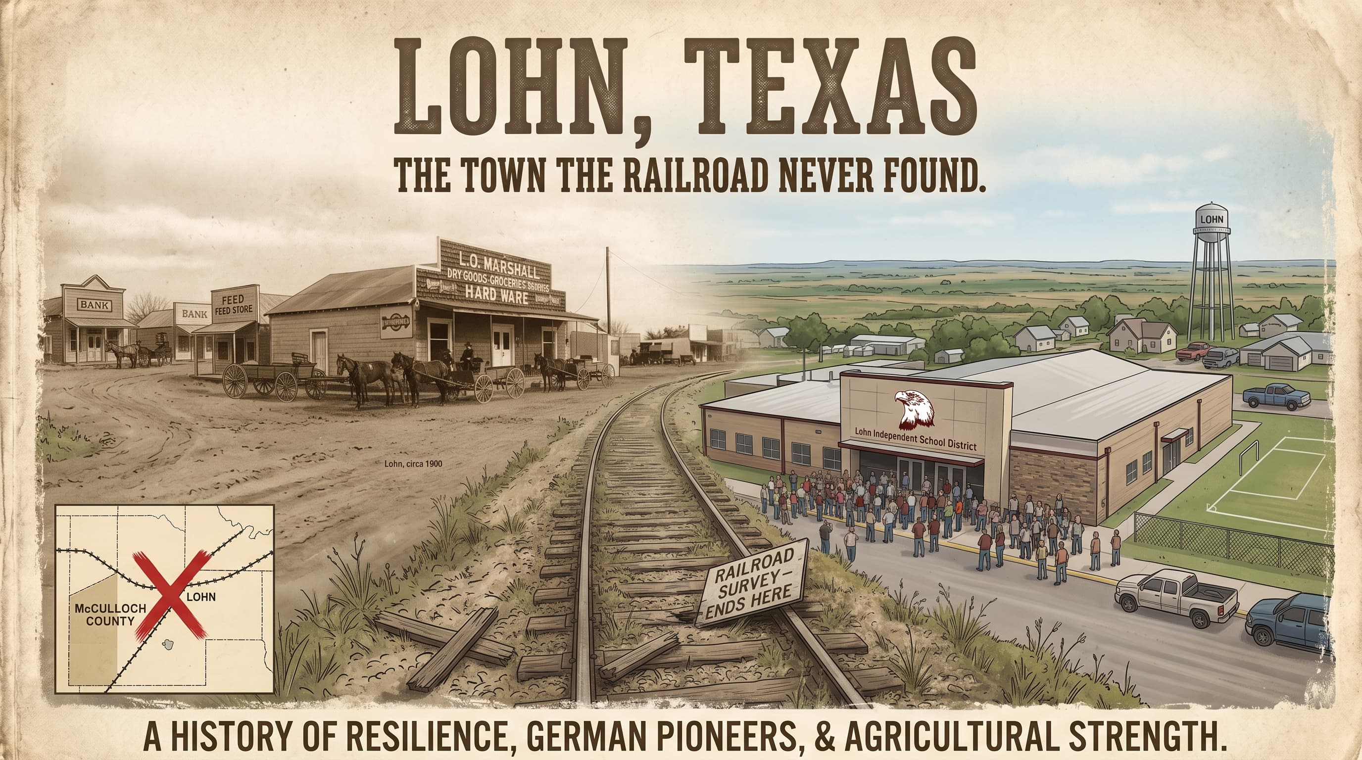
In 1893 a geologist named N. F. Drake was working his way through the Pennsylvanian rocks of the Colorado River valley in McCulloch County, naming the layers as he went, and when he reached a band of shale between 2 limestones he named it for the nearest settlement. The Lohn beds. The town has been sitting on its own résumé ever since.
Lohn, Texas, is 15 miles north of Brady and 2 miles west of US 283, in the country between the Brady Mountains and the Colorado River. It has a post office, open 2 hours a day. It has a school with 109 students and a six man football field that seats 375. It had 360 people in 1931 and has had about 150 for most of the time since. It is the kind of place that gets described as a town the railroad passed by, which is true, and which turns out to be the best thing that happened to it.
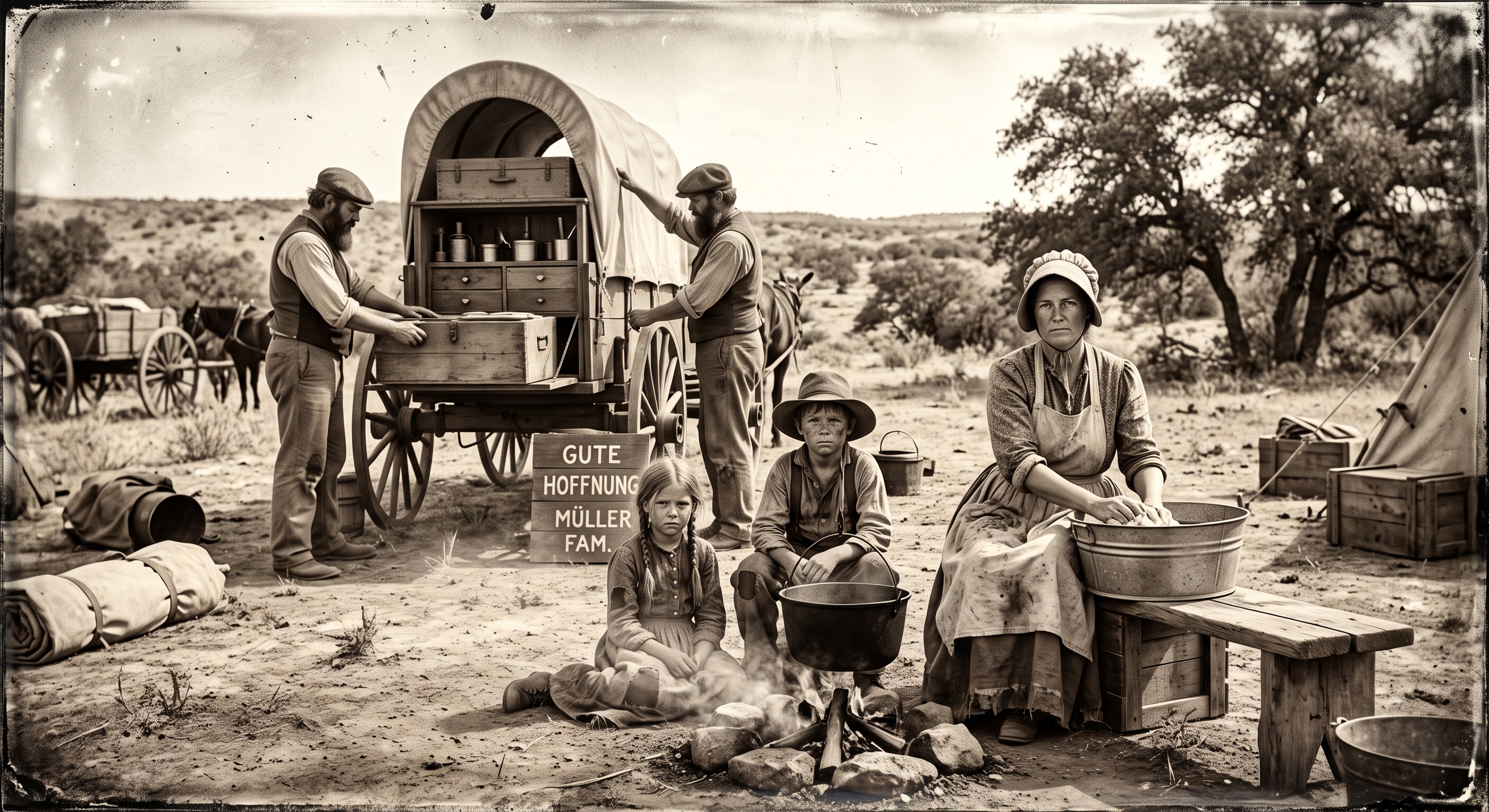
William F. Lohn and his family settled the valley in 1879, and more German families followed in 1881. Lohn is a German word. It means wages, or reward, which is about what an acre of McCulloch County cost in 1879.
Morgan Stacy opened a store and post office in 1890. There was a Baptist church by 1892 and a one room school by 1893. In 1896 the Lohn Central School absorbed the schools at Cow Creek and Salt Gap, and the town got a gin and a flour mill. Next door, a settlement named Fife had been laid out in 1882 by a Scot, Robert Kay Finlay, whose mother named it for Fifeshire; it had 200 people in 1914 and its school folded into Lohn's in the 1940s. The two railroads that came to McCulloch County, the Frisco into Brady in 1903 and the Santa Fe's branch from Lometa to Eden in 1911, both ran well south of the Lohn valley. The Santa Fe pulled its rails up in 1972. Lohn never had any to pull.
What the valley did have was the trail. The Western Trail, which moved about 4 million head of cattle from South Texas to Kansas between 1874 and 1897, crossed Brady Creek at Dodge Crossing 6 miles west of Brady, climbed through Cow Gap in the Brady Mountains, and crossed the Colorado at a place the drovers called Beef Crossing, near the mouth of Bull Creek. The state's marker says more than 200,000 head went up that leg in 1881 alone. Cow Creek, whose 2 forks rise north and northwest of Brady and meet 3 miles east of Lohn before running 7 miles north to the Colorado, is named for the reason you would think.
So the railroad never found Lohn. The cattle did, by the hundred thousand, 20 years before anybody built a store.
Thirty two years before William Lohn arrived, the most important meeting in the history of the German settlements in Texas happened on the San Saba River, in what is now the southern end of McCulloch County.
On March 1 and 2, 1847, John O. Meusebach, who had given up a German barony to lead the settlers at Fredericksburg, sat down on the lower San Saba with Buffalo Hump, Santa Anna and the other Penateka Comanche chiefs. The treaty they made was ratified at Fredericksburg 2 months later. It opened more than 3 million acres of the Fisher and Miller grant to settlement, and Texans like to say it is the only treaty between Texans and Comanches that was never broken. The original went back to Europe with Meusebach's papers and did not return to Texas until 1970. It is in the State Library now. The site is near Camp San Saba, 10 miles southeast of Brady, which was a Ranger station in the 1850s, a Confederate frontier post from 1862 to 1864, and the county's main town, with 3 churches and 3 stores, until Brady took the county seat in 1876.
McCulloch County, as a result, has had 2 Camp San Sabas. The other one, over the line in Menard County, was founded in 1852, renamed Camp McKavett that October and Fort McKavett the next February, and was the post General Sherman called "the prettiest in Texas" when he passed through in 1871.
 Brady calls itself the Heart of Texas, and it has a case. The Handbook of Texas puts the geographic center of the state 16 miles northeast of town, on private land; the Texas Almanac says about 15. The roadside marker sits on US 377 toward Brownwood, about 5 miles from the true point, because the true point is in somebody's pasture and he is not selling. Brownwood, 24 miles from the marker against Brady's 19 and a half, claims it too.
Here is the arithmetic nobody in Brady wants to hear. Lohn is 15 miles north of Brady. The center of Texas is 15 or 16 miles northeast of it. Lohn is about as close to the middle of the state as the town that put it on the water tower.
The country under all of it is some of the oldest rock in Texas. Beneath the Brady side of the county lies the Hickory sandstone, a Cambrian layer up to 500 feet thick that is both the Hickory aquifer and, when it is dug up, the frac sand the industry calls Brady Brown. Seven sand plants ran in the county at the peak of the shale boom; they closed in the summer of 2019 when the Permian found cheaper sand in its own basin, and the county lost the boom it had briefly had. The same sandstone carries natural radium at about twice the federal limit, which kept Brady's water in violation for years until a $31.4 million treatment plant brought it into compliance this April. Brady Creek Reservoir, which was 30 percent full 2 summers ago, stood at 83.6 percent on October 5.
Above the Hickory sits the Ellenburger and San Saba limestone, and above that, in the Colorado valley north of Brady, the Pennsylvanian layers Drake was naming in 1893. In August the federal government proposed a new wine appellation, the Hickory Sands District, covering 193 square miles of that sandstone across McCulloch, Llano, Mason and San Saba counties, 9 vineyards and 190 acres of vines. Comments close October 13. Lohn may end up in wine country before it ends up on a railroad.
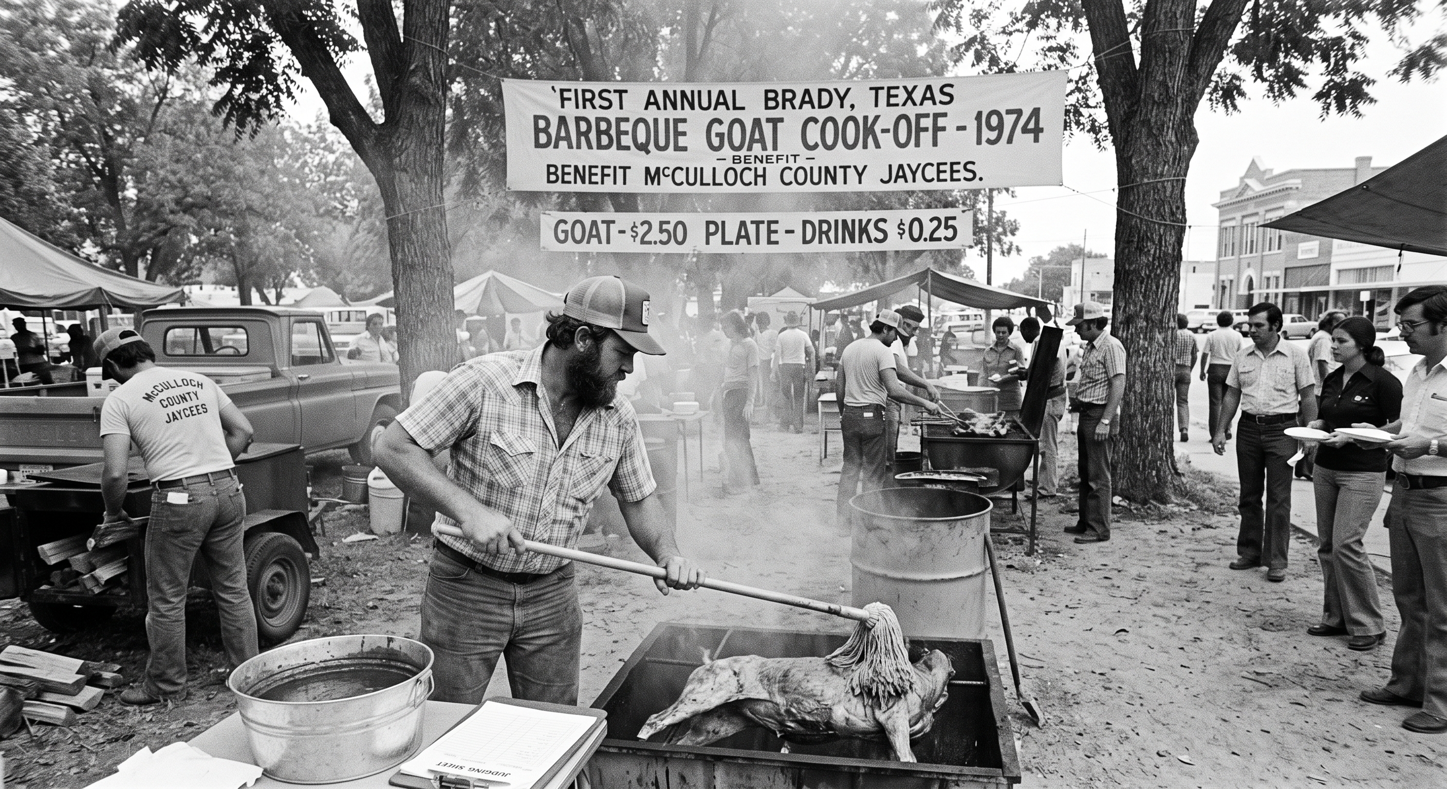 Brady's other claims are easier to verify. The World Championship Barbecue Goat Cook Off started in August 1974 with 16 teams, moved to Labor Day weekend to borrow the crowd from the horse races, and ran its 52nd edition on September 4 with more than 200 teams. The July Jubilee has run since 1926 and turned 100 this summer. Curtis Field trained pilots in 1942 and the prisoner of war camp outside town held more than 300 men of the Afrika Korps. The county had 13,405 people in 1910 and has 7,630 now. A 400 megawatt solar farm, Biggs Solar, is on the state's books for later in the decade.
Lohn itself is doing something unusual for a town of 150. Its school district has grown 18 and a half percent in 10 years. Families are moving to the valley for the school, which has 1 campus, kindergarten through 12th grade, and a six man football team called the Eagles.
We named our ranch there Lohn Hollow, and it is the biggest thing we sell: 77 surveyed tracts in the valley north of Brady, from $77,550.
The Texas A&M land center files McCulloch County under its Austin, Waco and Hill Country region, which set a record this quarter at $8,040 an acre, up 8.63 percent, one of the strongest gains of any region in the state. That regional number is made mostly of Hill Country land 2 hours southeast, priced for Austin money. The Lohn valley is the far northwest corner of it, on the far side of the Brady Mountains, where the trail crossed and the railroad did not.
The tracts are small on purpose. Lohn Hollow tract 57 is 10.34 acres at $77,550, with 30 photographs, 28 of them taken standing on the ground, because a 10 acre tract is something you walk, not something you fly over. Every tract has a graded road to the gate and a survey on file. We carry the note ourselves, in house, the way we have on every tract we have sold, and the estimator on each tract page shows what the land costs by the month.
Lohn is German for wages. For most of a century the valley paid them in cattle and cotton and a 2 hour post office. It is paying them now in 10 acre pieces, to people who want to own the middle of Texas and found out it was for sale.
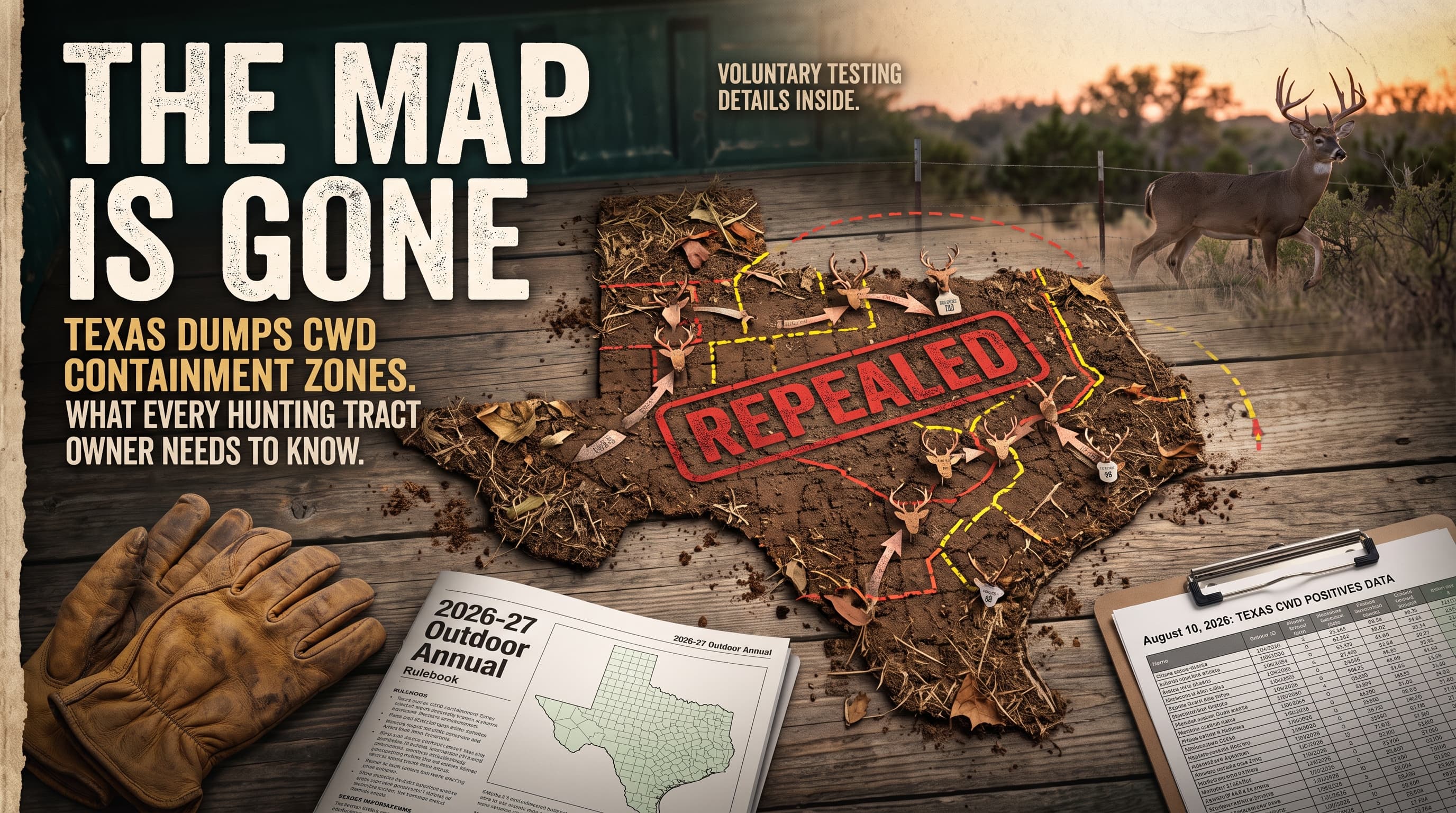
Read next: Darden Canyon and the Matador · The CWD Zone Map Is Gone, where McCulloch has zero cases
Sources: Handbook of Texas, entries for Lohn, Fife, McCulloch County, Brady, Camp San Saba, Fort McKavett, Cow Creek, the Western Trail, the Meusebach Comanche Treaty and the Gulf, Colorado and Santa Fe Railway; United States Geological Survey Geolex, Cisco division and Lohn beds (Drake, 1893); Texas Water Development Board Report 360, chapter 9; Inside Climate News, August 11, 2026, on Brady's radium plant; KUT, February 2019, on the Brady sand plants; Federal Register, August 14, 2026, proposed Hickory Sands District viticultural area; Texas Monthly and Tour Texas on the Goat Cook Off; Texas Tribune school district data, Lohn ISD; Water Data for Texas, Brady Creek Reservoir, October 5, 2026; Texas Almanac; Texas Real Estate Research Center, "Texas Rural Land Markets, Second Quarter 2026"; United States Census Bureau.